
In the early 1830s, Dutch colonial officials sat in offices and made lists. Your village was on the list or it wasn't. That's all it took. A name on paper, and your future got decided by men who'd never seen your fields or walked your roads.
The lists allocated villages to 94 sugar-processing factories the Dutch were building along Java's northern coast. If your village made the list, you'd been chosen. One-fifth of your land would grow sugar cane. Your household would provide 66 days of forced labor annually. In practice, those numbers got exceeded—some areas lost almost all village lands and most of the population got conscripted for mill work.
But you'd also get roads. Eventually railroads. Connection to the cash economy. Wages for factory labor. The Dutch built infrastructure where extraction was profitable.
If your village wasn't on the list, you got nothing. You stayed agricultural, subsistence-based, isolated. Same soil as the village two kilometers away that made the list. Same geography. Same people. Different future.
The spatial lottery operated at absurd precision. Villages just a kilometer apart ended up on opposite sides of factory catchment boundaries. The officials drawing those boundaries cared about rivers for transport, flat land for cultivation, soil quality for cane yields. They didn't care that identical villages would end up on opposite sides of history.
The Trap
The Dutch didn't have enough officials to manage over 10,000 villages directly. So they made local elites do it. Village heads—the lurah—became the system's enforcers. They allocated cultivation land. They assigned labor to the factories. They collected the land tax owed to the colonial government. They redistributed fields annually as cane cultivation rotated.
Here's how you design a system that runs itself: Village heads received kultuurprocenten—a percentage of total sugar sale proceeds. For lower Javanese heads with little other income, these payments became essential. Higher officials and Javanese regents also got cultivation percentages. Their wealth became legendary.
But if village chiefs failed to meet production quotas, higher authorities could have them whipped. Dutch officials increasingly intervened to install village authorities friendly to their interests. Then in 1854, they made the position hereditary. Comply, and you secure your family's future. Resist, and you get replaced by someone who will.
You're a village head in 1835. The Dutch official arrives with the list. Your village is on it. You can enforce cultivation quotas, take the percentage payments that might exceed your entire previous income, make your position hereditary for your sons. Or you can resist, get whipped in front of your village, watch them install someone more cooperative. Your choice.
Except it's not a choice. It's a calculation about which form of coercion you can survive. You know the quotas will exceed one-fifth. You know the 66 days will become 240. You know crop failures won't be forgiven. You also know the Dutch aren't leaving, and the next village head will enforce the same system without your restraint.
So you take the money. You allocate the land. You send your neighbors to the factories. You tell yourself you're protecting them from worse. Maybe you even believe it.
That's how empires work. They don't need to station soldiers in every village. They just need to make collaboration more survivable than resistance.
The Cascade
The immediate effects were brutal. Research tracking mortality rates found that higher forced labor was associated with higher death rates. Plantations were unhygienic. Workers were malnourished. The movement of labor spread disease. At the system's height, over 70% of Javanese households were involved in forced cultivation.
Then something nobody planned for happened. The infrastructure the Dutch built to extract sugar stayed in place after the factories closed. Roads and railroads meant for transporting processed sugar to ports became trade networks. In 1830, Javanese road infrastructure was nearly non-existent. By the early 20th century, Java had the densest road and rail network in Asia. The village land redistributions that enabled cultivation control funded schools. The forced integration into cash economy created wage labor opportunities that compounded over generations.
The system that killed people educated their grandchildren. Make of that what you will.
What Gets Measured
In 2020, economists digitized those handwritten 1830s village lists from Dutch archives in The Hague. They matched over 10,000 historical villages with modern locations. They compared villages just inside versus outside old factory catchment boundaries.
Here's what 170 years of divergence looks like. Villages near historical sugar factories compared to villages just kilometers away:
| Metric | Impact |
|---|---|
| Education | 1 full year more on average |
| Agricultural employment | 25-30 percentage points lower |
| Manufacturing employment | 6-7 percentage points higher |
| Consumption | 14% higher |
| Railroad density (within 1km) | Twice that of areas 5-20km away |
| Electricity access (1980) | 45% more likely |
We can measure empire's legacy down to the percentage point now. Villages that look identical on a map—same geography, same soil, separated by a kilometer or two—have completely different economic trajectories because of which side of a factory catchment boundary they fell on in the 1830s.
The lists still predict economic outcomes today. Education levels, manufacturing employment, consumption, infrastructure density. All traceable to names on paper from 1832.
Today's Lists
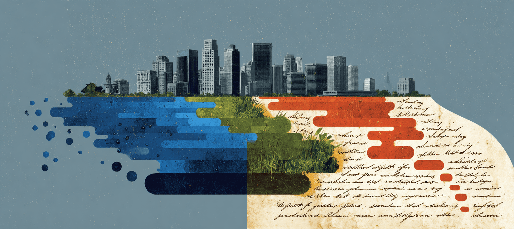
Climate adaptation works the same way. Which communities get seawalls, which get managed retreat. Which cities get infrastructure investment for resilience, which get abandoned to rising seas. Which farmers get irrigation support, which get told to switch crops or leave.
The choices get made by people in impossible positions, navigating between distant authorities and local communities. The consequences cascade for generations. The gap between places just kilometers apart—one adapted, one excluded—becomes permanent.
The Dutch colonial officials who drew up those village lists weren't thinking about 2026. They were thinking about sugar extraction and profitable returns. Their allocation decisions are still shaping economic geography today.
The people making adaptation lists right now—deciding which communities get infrastructure, which get abandonment—won't see the full consequences either. But their grandchildren will be able to measure them down to the percentage point. That's the thing about names on paper. They last longer than the people who write them.
Things to follow up on...
-
Village land redistribution: The Cultivation System created 10-15% more village-owned communal land in subjected villages, a pattern that persisted through 1980 and 2003, providing resources for public goods like schools.
-
Regional variation in outcomes: While Pasuruan in East Java saw relative prosperity from factory wages, tobacco cultivation in Demak and Grobogan led to documented migration as farmers fled inadequate planting wages and forced labor conditions.
-
Labor substitution strategies: Wealthier peasants in some areas employed unattached workers from other regions to fulfill factory labor requirements while they pursued their own livelihoods, creating early labor markets.
-
Education advantages dating to 1920s: The education gap between cultivation and non-cultivation villages extends back to the 1920s cohort, educated during the Dutch period, suggesting early human capital investments compounded across multiple generations.