

Galveston in early 1902 still smelled like the storm. Eighteen months after the hurricane of September 8, 1900, bodies were still surfacing in the wreckage. Somewhere between six and eight thousand people had died, a number nobody could fix precisely because entire families had vanished without remainder. A third of the city's structures were gone. The wharves were splintered. In September 1901, the engineering board convened a public forum at a downtown hotel and asked citizens to testify on six questions: the direction and force of currents that had washed over the island, the effect of the debris breakwater, sudden rises in water when the wind veered southeast, whether they'd observed current flowing from the bay toward the Gulf. People who had clung to wreckage and watched their neighbors drown came in with anecdotes and data. On January 25, 1902, the engineers delivered their report. They rejected offshore breakwaters and bulkheads. They recommended a curved concrete seawall, seventeen feet above mean low tide, running from the south jetty near 8th Street westward to 39th Street. Three and a third miles of protection on an island roughly thirty miles long.
On March 20, 1902, Galveston County held its bond referendum. The vote came back 3,119 to 22. The Galveston Daily News ran a banner headline:
"GRAND JOLLIFICATION LAST NIGHT"
That ratio tells you what grief does to a collective decision. A city that has just buried the deadliest natural disaster in American history does not weigh options. It builds a wall. The 22 dissenters are a mystery. The Rosenberg Library holds the newspaper archives that might identify them. Nobody has apparently thought it worth looking.
The politics behind the vote had been organized by the Deep Water Committee, a coalition of wealthy Galveston businessmen that predated the storm by seventeen years. After the hurricane, the committee persuaded the governor to appoint a five-person commission to govern the city through reconstruction. When citizens objected that appointed commissioners wouldn't represent ordinary residents, the plan was amended: voters could elect two of the five. This was called a compromise. The commission issued the bonds. The construction contract was signed September 19, 1902. And 3,119 citizens, most of whom had buried someone they loved or never found the body, had committed themselves and their descendants to something none of them could see the end of.
Where the First Federal Dollar Went
The original seawall was financed by city, county, and state governments and completed July 29, 1904. The first Congressional appropriation came five months later: a 4,935-foot extension from 39th Street to 53rd Street, shielding Fort Crockett, a U.S. Army coast artillery installation whose stated mission included securing "the commercial and industrial ports of Galveston and Houston and the extensive oil refineries in the bay area."
Four years after the vote, the first federal dollar spent on the Galveston seawall was justified by petroleum infrastructure.
The wall's early vindication made the escalation feel inevitable. The 1915 hurricane pushed surge three inches higher than 1900. Eight people died in Galveston; 304 died elsewhere along the coast. The wall had worked. Extensions continued: to 61st Street by 1927, to 99th Street by 1963. The wall also did something nobody voted for. Within twenty years of construction, passive erosion had consumed a hundred yards of beach. The resort economy the seawall was partly meant to preserve disappeared with the sand.
And on November 10, 1914, President Wilson proclaimed the Houston Ship Channel open. Galveston had built its wall partly to save its position as the dominant Texas port. The channel moved that position fifty miles inland. Houston overtook Galveston while Galveston was still raising five hundred city blocks above sea level.
From Residents to Refineries
The final seawall extension was authorized under the Flood Control Act of 1962, after Hurricane Carla. The same act funded the Texas City Hurricane Protection Structure. When the Army Corps later described that structure, the language was plain: it protected "the vital petrochemical complex." No mention of residents. No mention of the 3,119. By 1962, the federal justification for coastal protection on the upper Texas coast had completed a migration that took six decades, and the document recording its arrival reads as though the original purpose never existed.
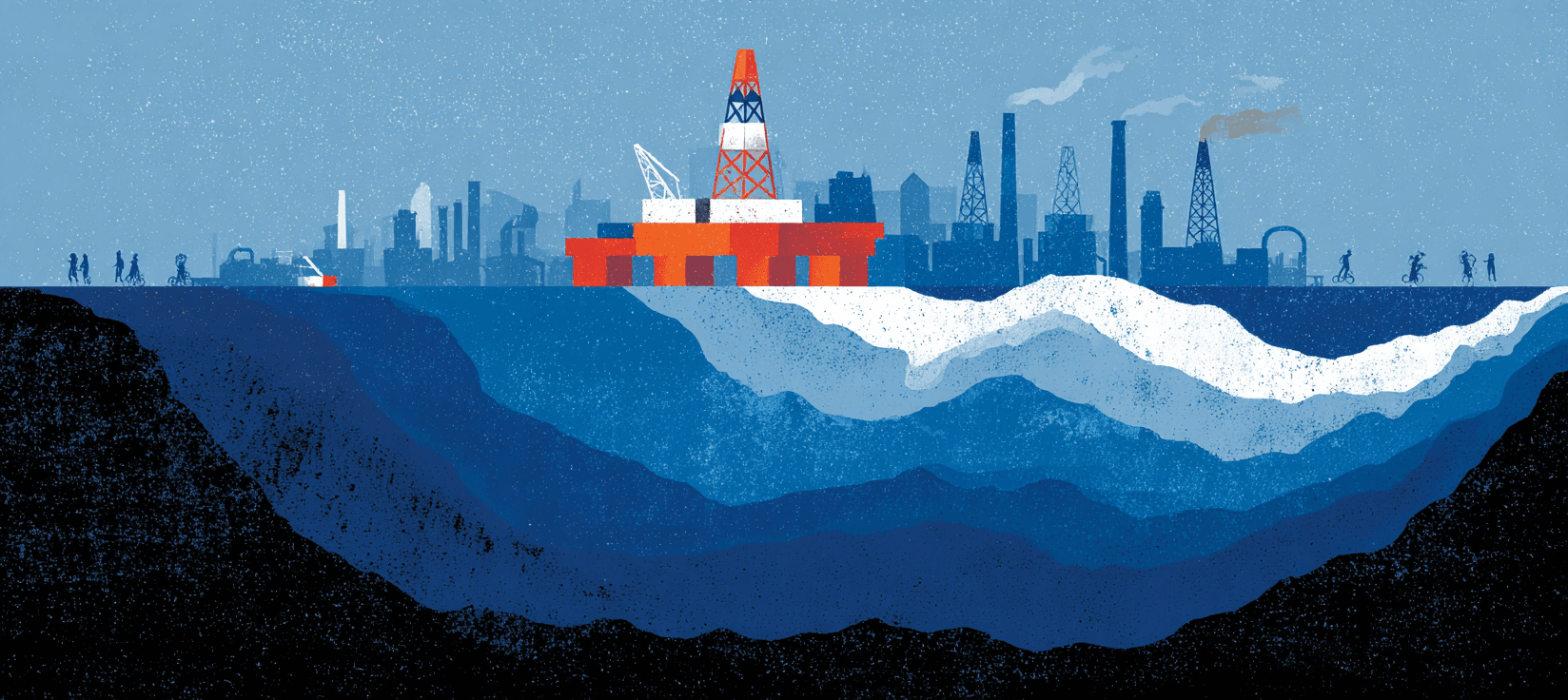
Hurricane Ike in 2008 made the new rationale permanent. Surge flooded industrial sites deep into Galveston Bay, but the eye passed just east enough that the world's largest petrochemical complex sat on the dry side. The Army Corps feasibility study was candid about what a slightly different landfall would have meant: catastrophic damage to refineries supplying 32 percent of the nation's refining capacity, 60 percent of its aviation fuel, 80 percent of military-grade fuel.
The resulting Coastal Texas Project costs roughly $35 billion. Senator John Cornyn's December 2025 op-ed was titled "The Energy Capital of the World Needs the Coastal Texas Project." GLO Commissioner Dawn Buckingham, announcing the first design contracts, described the project as "safeguarding the largest port and petrochemical complex in the nation."
The commitment absorbed its new purpose the way a channel absorbs a current, silently, over decades, until the original flow is undetectable.
What's Building Outside the Wall
The December 2025 contracts went to Jacobs for the gate system and HDR for the dunes. The project's Galveston Ring Barrier will encompass "the most heavily developed portions of Galveston Island." West of the seawall's terminus at 99th Street, the remaining twenty miles of island get restored beaches and dunes. Sand.
This is the same western end where, in October 2025, Galveston's city council approved zoning for Sachs on the Seawall: $540 million, a Marriott Renaissance hotel, two eleven-story condo towers, 236 apartment units. In April 2026, the Planning Commission voted 5-1 to recommend Discovery Sands: 170 acres near Jamaica Beach, 568 residential lots, a marina, a 1,190-foot lazy river.
Homes, families, a community. The kind of thing 3,119 voters at their polling places across Galveston County thought they were protecting on March 20, 1902. The $31 billion system coming to replace their seawall is, by its own published description, for the petrochemical corridor that didn't exist when the bonds were sold. The 22 dissenters remain unidentified. Their reasoning remains unrecorded. That silence has lasted 124 years and shows no sign of breaking.
Things to follow up on...
- The gate nobody's funding: As of 2026, Congress has appropriated just $5 million toward a project the Army Corps estimates at $34.4 billion, with no major construction contracts possible until federal funding materializes.
- Galveston's accelerating sea level rise: The island has already experienced over two feet of relative sea level rise, and researchers project some areas could face annual inundation by 2050 as Gulf Coast rates outpace global averages.
- How the Ring Barrier actually works: A 2025 peer-reviewed risk analysis modeled the Ike Dike's effectiveness and found the system would raise the existing seawall crest to 21 feet, but residual risk varies significantly depending on storm track and whether the gate is closed in time.
- West End residents pushing back: Jamaica Beach residents opposing the Discovery Sands development have argued the 170-acre project would destroy wetlands and wildlife habitat, with one resident telling the Galveston Planning Commission the proposal "puts at risk" everything that defines the community.