

Senator Russell Long called the White House on the afternoon of September 10, 1965, the day after Hurricane Betsy put parts of the Lower Ninth Ward under water up to the eaves. The recorded conversationis instructive. Long pleaded for federal aid and mentioned, helpfully, that a presidential visit would play well at the polls. Five hours later Lyndon Johnson was on the ground in New Orleans, telling assembled officials he had put aside all the problems on his desk to come.
Then he asked to be taken to the shelters.
What happened next depends on which account you trust. Published reports drawn from contemporaneous sources say Johnson was warned the refugee centers were too dangerous. He insisted his aides round up flashlights. He went tent to tent, opened the flap, shone the light on his own face, and said: "Hello, I'm the President and I am here to help you." The LBJ Library's audio transcript confirms at least one exchange with a displaced resident, William Marshall of 1409 Gordon Street, whose home was under three feet of water. Whether Johnson used those exact words in every tent or something close, the gesture was real. A president stood in the dark among people who had lost everything and made a promise.
Forty-eight days later, Congress authorized the Army Corps of Engineers to design and build the Lake Pontchartrain Hurricane Protection Project. The Corps had drafted the plan in 1962. It sat on a shelf for three years. Betsy moved it from shelf to law in seven weeks.
The Wall
The project was supposed to take thirteen years and cost $85 million. It was designed around a fast-moving Category 3 hurricane, the kind engineers figured might arrive once every two or three centuries. By August 2005, when it was finally tested, the project was 60 to 90 percent complete. Cost estimates had ballooned to $738 million. Along the way the Corps had switched from the original barrier plan to a cheaper alternative, dropped a critical storm surge lock, and adopted shorter steel sheet pilings across the system, saving roughly $100 million at the expense of what the engineers would later call "engineering reliability." Several levees had settled and needed raising. The president's budget requests for 2005 and 2006 were insufficient to fund new construction. The Corps noted this in writing, three months before Katrina.
But the incomplete system told people it was safe to build.
In the 1960s and 1970s, floodwalls and levees went up around a geographic footprint that included former marshland and swamp. Pumping drained the land. Developers built on it. Working families who couldn't afford the old neighborhoods above sea level bought houses in New Orleans East and the suburbs of Jefferson and St. Bernard parishes, because the government had put a wall around the land and a wall means safe. Researchers later gave this pattern a clinical name: the levee effect. You build a wall, people build behind it, and the losses when the wall fails are vastly larger than if you'd never built the wall at all. Protection manufactured the vulnerability it was supposed to prevent.
The River
The levees also kept the Mississippi pinned in its channel, which is what levees along the lower river had been doing since the catastrophic floods of 1927. Johnson's project reinforced and extended this engineered straitjacket. And the straitjacket was starving the coast.
The Mississippi used to flood regularly, depositing sediment across its delta, building and sustaining the wetlands that stood between New Orleans and the Gulf. Channelized, that sediment shoots past the marshes and off the continental shelf into deep water. The sediment load has decreased by more than 70 percent since 1850. Oil and gas canals accelerated the damage. Subsidence did its part. But the fundamental mechanism was ordinary physics: the river that built the land was no longer allowed to touch it.
Louisiana has lost more than 2,000 square miles of coastal land since the 1930s. A football field every hundred minutes. The wetlands that once absorbed storm surge before it reached the city were vanishing, and the system Johnson's promise authorized was part of the reason why.
When Hurricane Katrina arrived as a Category 3 storm in August 2005, the levee system suffered over fifty failures. The surge heights were within the design parameters. The system simply wasn't what it was supposed to be. The post-Katrina investigation concluded that "a series of incremental decisions" had "systematically increased the inherent risk in the system without recognition or acknowledgment." A sequence of reasonable people making reasonable budget compromises had produced a death trap.
The city flooded. And then the federal government rebuilt the levees.
The Diagnosis
The post-Katrina system is stronger. The Corps is designing additions to extend protection through 2073. After that, additional evaluations "will be needed."
On May 4, 2026, a team led by Tulane geologist Torbjörn Törnqvist published a paper in Nature Sustainability explaining why those evaluations won't matter. Using lidar mapping, co-author Zhi-Xiong Shen identified an ancient beach ridge north of Lake Pontchartrain, the remains of a shoreline from 125,000 years ago, when global temperatures were 0.5 to 1.5 degrees warmer than preindustrial levels and seas were ten to twenty feet higher. With temperatures now approaching 1.5 degrees above preindustrial and climbing, the paper concludes that the Gulf could migrate up to 62 miles north. Three-quarters of the remaining coastal wetlands will be lost. "Coastal Louisiana has evidently already crossed the point of no return," the paper states.
Co-author Jesse Keenan put it in language the paper's academic prose avoids:
"New Orleans is in a terminal state. The question is how much time do we have, and how much time can we buy." Without managed relocation, he warned, residents with resources will leave first, taking the tax base, stranding lower-income populations in communities with eroding services. "No politician wants to first give this terminal diagnosis. They will speak about it behind closed doors, but never in public."
Michael Hecht, president and CEO of Greater New Orleans Inc., called the paper "academically compelling, but empirically unconvincing." Which is what you say when a doctor gives you a diagnosis and you'd rather talk to the hospital's marketing department.
For sixty-one years the federal government has been promising New Orleans that adaptation won't be necessary. Each promise followed logically from the last, each was made by reasonable people facing real pressures, and the whole chain has produced a city that cannot imagine the one adaptation it may actually need, because the promise itself forecloses it.
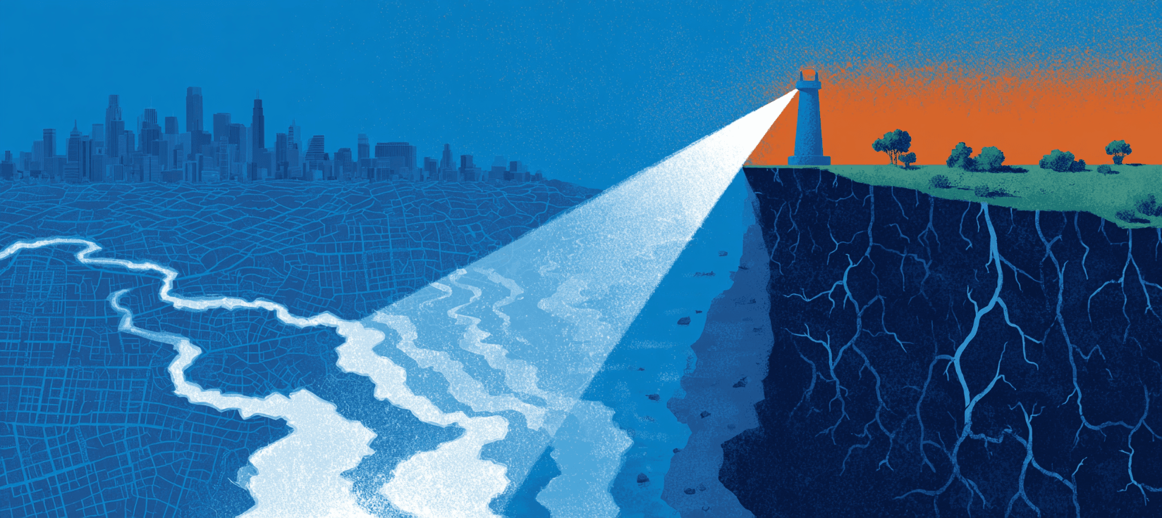
The flashlight is still on. It illuminates the ancient beach ridge now, waiting patiently to become a coastline again.
Things to follow up on...
-
One town that moved: In 1978, the village of Soldiers Grove, Wisconsin rejected a $3.5 million Army Corps levee and relocated its entire business district uphill, where it sat unscathed when the biggest flood in its history arrived in 2007.
-
Who gets bought out: A study of more than 40,000 voluntary federal buyouts found that homeowners in majority-white neighborhoods tend to hold out unless flood risk is extreme, while homeowners in other neighborhoods accept buyouts at lower risk thresholds, raising hard questions about what "voluntary" means when the alternatives aren't equal.
-
States going it alone: With FEMA's BRIC program cancelled and federal disaster aid stalled, Rhode Island legislators have introduced a catastrophe bond bill to fund managed retreat and relocation assistance without waiting for Washington.
-
Infrastructure built to yesterday's flood: The American Society of Civil Engineers gave the nation's dams, levees, and stormwater systems a D grade, and engineers warn that new flood control projects receiving federal funding are still being designed around historical storm patterns rather than the climate that's arriving.