

In the Grand Valley of western Colorado, spring 2026 is a triage season. You can fallow a cornfield and replant next year. An orchard that goes unwatered dies, and the decades of root structure underneath it die too. Across the valley's fruit-growing country around Palisade, growers are choosing which trees to save and which to sacrifice. Bruce Talbott of Talbott Farms told local officials this year will be about protecting the health of his trees more than producing fruit. The decision is being made field by field, row by row, with water that is not arriving.
One number explains why. Water Year 2026 precipitation across the Upper Colorado Basin stands at 82 percent of normal. A dry year, but not a disaster. Yet forecasted inflow to Lake Powell is just 34 percent of the historical average. The April-through-July snowmelt window, when the river is supposed to fill, is projected at 13 to 22 percent of normal.
That gap between what falls from the sky and what reaches the reservoir is the story of this river now.
The ratchet
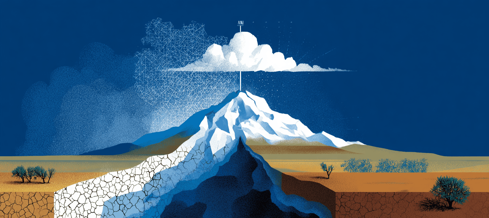
Hydrologist Brad Udall and co-author Jonathan Overpeck documented in 2017 what they called "hot drought": at least one-third of the Colorado River's flow decline since 2000 was driven primarily by rising temperatures, independent of precipitation. The mechanism is purely physical. Warmer air pulls more moisture from soils and vegetation through evapotranspiration. Earlier snowmelt exposes darker ground, which absorbs more solar radiation, which drives further warming and further moisture loss. For a grower in the Grand Valley, the result is soil that demands more water before anything reaches the irrigation ditch, and ditches that carry less than they used to even when the snow looks adequate. The ratchet operates at every stage between sky and field. Even when precipitation recovers, warming ensures less of it reaches the river.
The sensitivity estimates are sobering, and they diverge, which matters. Udall and Overpeck found flows declining roughly 4 percent per degree Fahrenheit of warming. A subsequent USGS study put the figure higher, at about 5 percent per degree Fahrenheit, driven largely by the snow-albedo feedback that Udall called "eye-popping" but credible. The basin is already roughly 1.6°F warmer than its twentieth-century average, with projections of 5°F total warming above that baseline by midcentury. At either estimate, the arithmetic is relentless.
In their December 2025 update, Udall and Overpeck added something worse: new evidence that climate change is now driving precipitation declines as well.
"These flows are not going to rebound." — Brad Udall, Colorado Sun
The 26-year average naturalized flow at Lees Ferry has fallen to 12.2 million acre-feet. The 1922 Colorado River Compact allocated 16.5 million, a number negotiated during an anomalously wet period and never corrected. The river was over-promised before the first dam was built. Warming has compounded a structural deficit that was there from the start.
The 1922 Compact allocated 16.5 million acre-feet annually. The 26-year average flow is 12.2 MAF, and falling. The river was overdrawn before warming widened the gap.
Where the shortage lands
In southwestern Colorado this April, the Dolores Water Conservancy District voted to split a thin remaining supply between Ute Mountain Ute tribal operations and northern irrigators. Full-service farmers are receiving roughly 3 inches out of a normal 22. That's 14 percent. Irrigators with senior water rights closer to Cortez are getting around 60 percent. Prior appropriation, the legal architecture governing western water, distributes shortage downward. Board members warned the district could run out of water by midsummer.
In the Uncompahgre Valley, the water users association cut allocations by half and canceled all annual lease contracts. As many as 30,000 of 84,000 irrigable acres could go fallow. In the Grand Valley, the National Weather Service told local officials there is a 10 to 30 percent chance that flows could drop below the historic lows of 1977 and 2002. Some producers are switching from corn to oats. Others are planning two cuttings of hay instead of four.
The dam's arithmetic
As of May 11, Lake Powell sits at 3,526 feet, roughly 23 percent full, having dropped 31 feet in a single year. Under minimum-probable conditions, the Bureau of Reclamation's April projections show the reservoir falling to 3,464 feet by December. At 3,490 feet, Glen Canyon Dam's hydropower turbines lose water coverage. Below that, the only way to move water through the dam is a set of bypass tunnels never designed for sustained use that suffered cavitation damage during a 2023 high-flow experiment. A Bureau spokesperson confirmed the tunnels "were not envisioned as the sole means to release water from Glen Canyon Dam." Proposed fixes, including drilling new lower-level bypass tunnels, could take over a decade.
The Bureau has responded by reducing Glen Canyon releases and drawing from Flaming Gorge upstream, trying to hold Powell above 3,500 feet through April 2027. But less water through Glen Canyon means less water into Lake Mead, already projected to fall to 1,020 feet by mid-2027, twenty feet below its record low. Below 1,035 feet, only five of Hoover Dam's seventeen turbines can generate power, and one of those is currently out for repairs. Reclamation has warned of a potential 40 percent reduction in Hoover's hydropower output by this fall, a loss that would ripple through electricity bills for roughly 1.3 million households and businesses in Nevada, Arizona, and Southern California.
Three clocks
Three temporal scales are running at once. This summer, Upper Basin farmers are deciding row by row what lives and what goes. Over the next two to three years, reservoir trajectories will determine whether Glen Canyon Dam can continue generating power and whether Lake Mead crosses thresholds that trigger deeper mandatory cuts to the 40 million people who depend on this system. Underneath both, Udall's research points toward something no negotiation can settle: how much human demand this river can physically support as warming continues to widen the gap between precipitation and flow.
The current interim operating rules expire October 1, 2026. Seven states will negotiate. The hydrology of a warming basin will set the terms. In the Grand Valley, the peach trees need water now. Between those two facts, 40 million people are waiting.
Things to follow up on...
-
The warming is accelerating: For the first time, researchers have confirmed with statistical confidence that global warming has accelerated since approximately 2015, a finding that compresses every flow-loss projection Udall's research depends on.
-
Seventy-six groups, one ask: A broad coalition of Colorado River Basin organizations is seeking $2 billion in federal drought funding to address what they call one of the most challenging hydrologic years in more than a century of recordkeeping.
-
Carbon sinks are weakening: Forests absorbed only a quarter of their usual carbon dioxide in 2023 and 2024 due to extreme fires, a decline that, if sustained, accelerates the warming driving the Colorado's losses.
-
Post-2026 rules unresolved: The Bureau of Reclamation's environmental impact statement for new Colorado River operating guidelines is due before the current interim rules expire on October 1, 2026, but the basin states have not reached consensus on how to share a river that can no longer deliver what was promised.