

Ridgewood to Baden
The SFMTA Slow Streets project page identifies Hearst Avenue's designated corridor as running from Ridgewood Avenue to Baden Street. At each endpoint, fixed signs read ROAD CLOSED TO THROUGH TRAFFIC. Purple placards on flexible delineator posts mark the street as a Slow Street. White pavement markings reinforce the message on the asphalt. These elements have been in place, in evolving condition, since the corridor first received COVID-era Slow Street signage in 2021. Five years of sun, rain, and passing tires is legible on plastic posts and painted surfaces. The Frisc reported that before later traffic-calming work arrived, Hearst had received "only a set of Slow Street signs and plastic posts at the ends of blocks." That was the corridor's entire physical vocabulary for its first three years under designation.
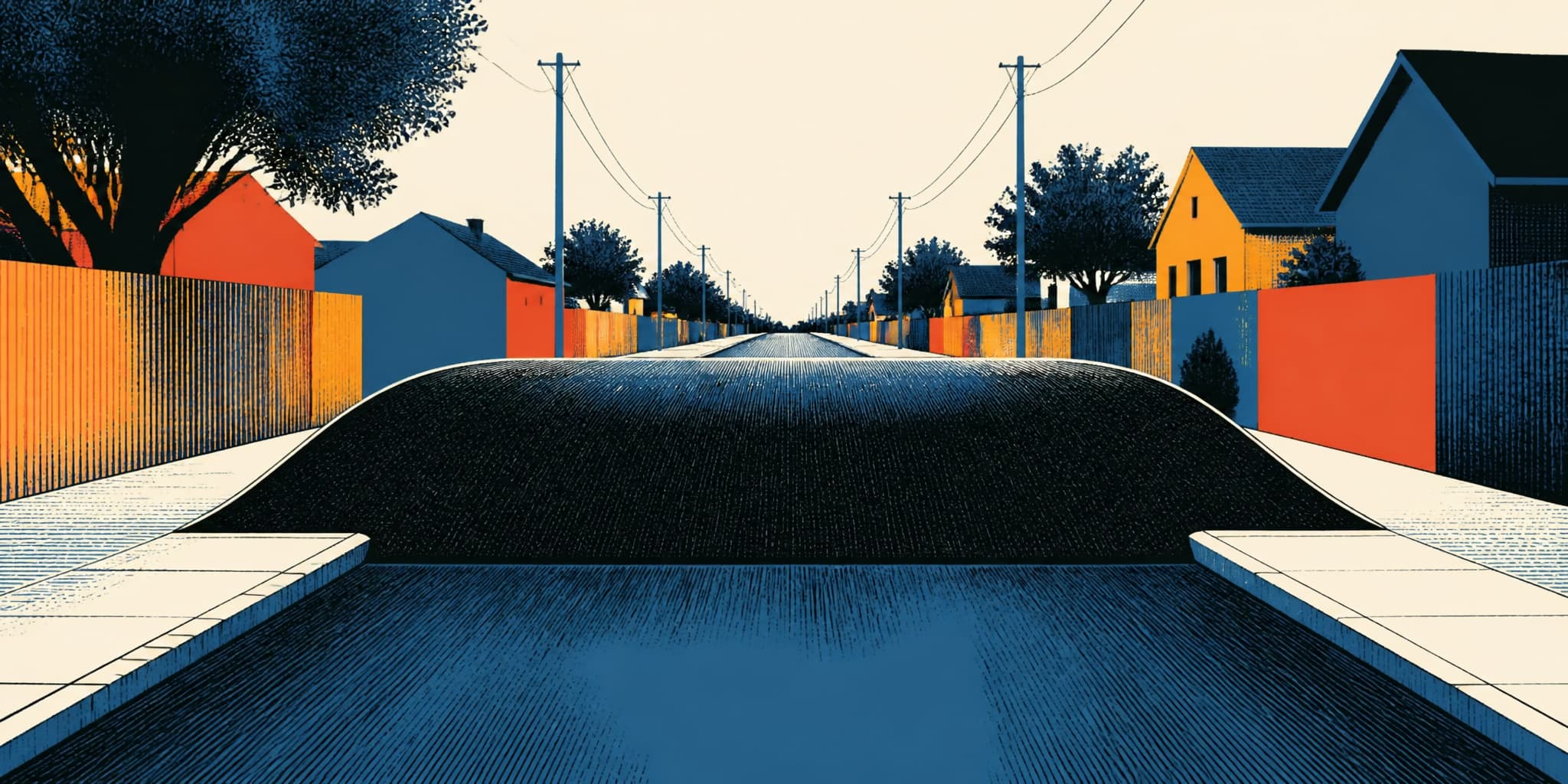
Between Congo and Edna streets, the corridor changes underfoot. Six speed tables span the roadway, wider and flatter than conventional speed humps, at a density of two per block. The Frisc reported the first two installed in December 2024, with the remaining four following in January 2025. SFMTA's Winter 2025 program update confirmed the installation and its location. On foot, the raised surface registers as a gentle plateau, a few inches of elevation that a pedestrian barely notices but that forces a vehicle to slow or bounce. The speed tables are solid, deliberate infrastructure. They occupy three blocks of a corridor that spans six or seven.
Between Ridgewood and Congo, and between Edna and Baden, a walker encounters the signs and flexible posts but not the raised surfaces. The traffic calming covers part of the corridor. The designation covers all of it.
December 6, 2022
Hearst first received its Slow Street signage in 2021 as a COVID-19 response. The SFMTA Board approved the permanent designation on December 6, 2022. The program evaluates its corridors against two published performance targets: vehicle speeds at or below 15 miles per hour, vehicle volumes below 1,000 per day. Both numbers appear in SFMTA's program documentation. They represent the agency's own standard for determining whether a Slow Street is functioning as intended.
January 2023
In January 2023, SFMTA collected 48 hours of weekday traffic data on Hearst and published the results in a one-page evaluation.
| Segment | Avg. Daily Volume | Median Speed |
|---|---|---|
| Full corridor | 460 vehicles | 20 mph |
| Baden to Congo | 514 vehicles | 20 mph |
| Gennessee to Foerster | 397 vehicles | 18 mph |
| Program target | < 1,000 vehicles | ≤ 15 mph |
The volume numbers were comfortable. Hearst was carrying fewer than half the vehicles the program would tolerate. Speed was a different record entirely. The typical median daily vehicle speed across the corridor came in at 20 miles per hour, five above the program's own target. SFMTA's 2023 program-wide evaluation classified Hearst as needing "Speed Management (Priority 1)" and named it one of three corridors, alongside Arlington and Cabrillo, with the highest median speeds among streets prioritized first for traffic-calming design.
The signs said slow. The data said 20.
The Gap in the Record
The speed tables between Congo and Edna were the program's physical answer to that five-mph discrepancy. The Winter 2025 update noted that current travel volumes on Hearst were running at about half the 1,000-vehicle target. But the update published no new speed measurement for the corridor. As of mid-2026, no post-installation speed data for Hearst appears in SFMTA's published reports or project pages.
This is the peculiar documentary condition of Hearst Avenue in its fourth year as a permanent Slow Street. The volume target was met from the start. The speed target failed at evaluation. Infrastructure was installed in response. And no published measurement has confirmed whether the response worked. A person walking Hearst can see the infrastructure and feel the speed tables underfoot, can watch a car decelerate approaching Congo and resume its pace past Edna. The difference between the blocks with speed tables and the blocks without is visible in real time. But what the infrastructure has accomplished, by the program's own published metrics, remains an open file. Signs communicate intent; speed tables impose physical constraint. The gap between the two is the gap between requesting cooperation and making noncompliance uncomfortable, and the measurement that could close it has not yet been published.
Sunnyside's Street Network, Spring 2026
SFMTA's Bosworth/Monterey Connections Quick-Build project, referenced on the agency's Hearst Avenue project page, has begun stakeholder outreach in Sunnyside during spring and summer 2026. The project examines how the neighborhood's street network handles pedestrian and vehicle movement along and across two of its busiest corridors. Hearst runs parallel to Monterey, one block north. Whatever emerges from the Quick-Build process will share infrastructure logic with the Slow Street a block away, though the two projects operate on different timelines and under different program frameworks. The public record that can tell a walker exactly how many vehicles used Hearst on a January weekday in 2023 cannot yet say whether six speed tables, installed two years later, changed anything.