

The Rock That Stayed

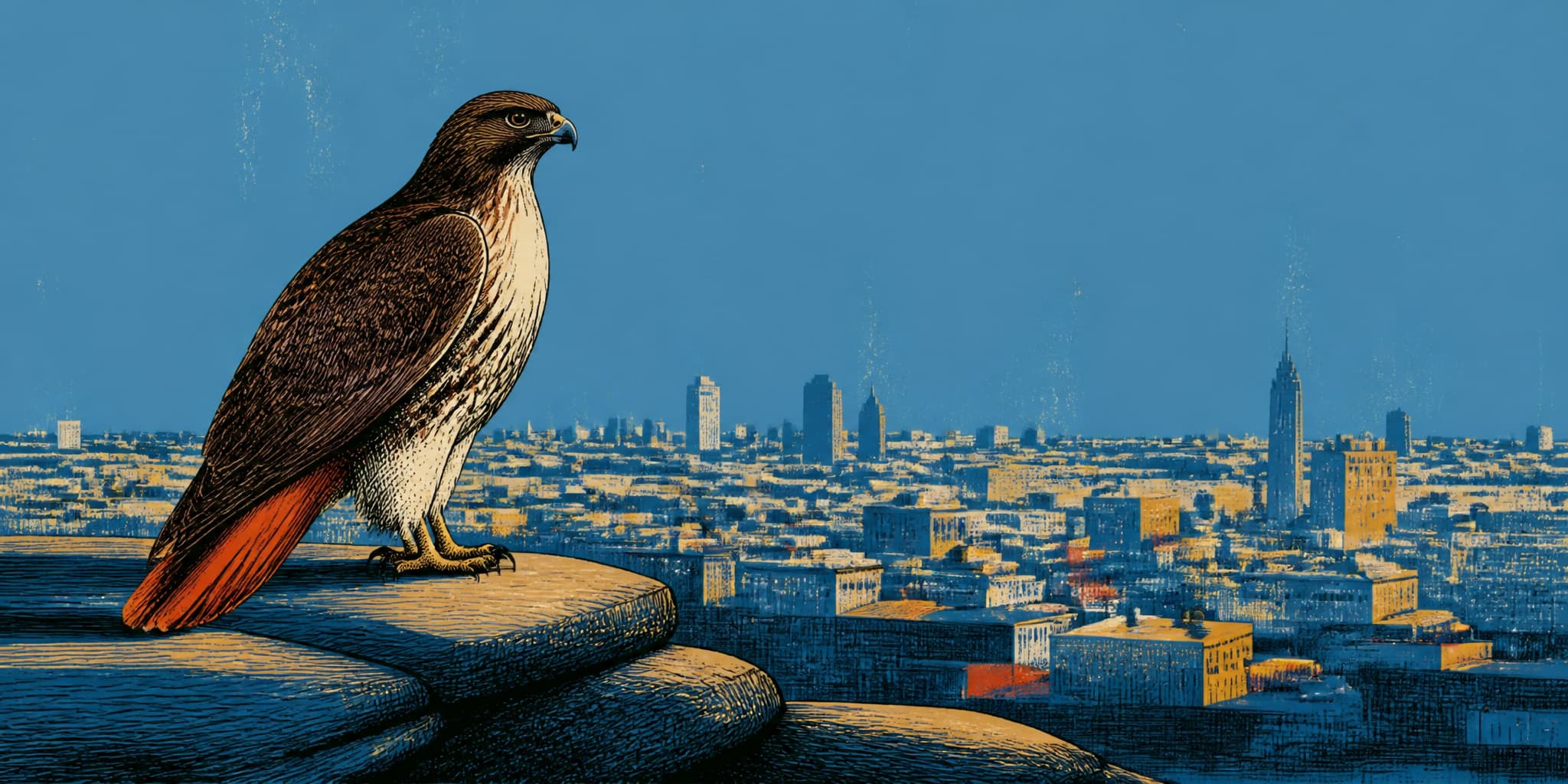
The rocky knoll at Baden and Martha looks like terrain the developers passed over, a hillside too steep and too stubborn to bother with. That reading is almost exactly backward. In the late 1970s, proposed road cuts and construction would have broken the chert bedrock into aggregate and graded the elevation flat for foundations. Three neighborhood associations from three adjoining neighborhoods organized to prevent it, drawing on a public funding mechanism that San Francisco voters had created only three years earlier. The 0.79-acre parcel they preserved is still there, unhelpfully disguised as something that was never threatened.
The Rock That Stayed
The rocky knoll at Baden and Martha looks like terrain the developers passed over, a hillside too steep and too stubborn to bother with. That reading is almost exactly backward. In the late 1970s, proposed road cuts and construction would have broken the chert bedrock into aggregate and graded the elevation flat for foundations. Three neighborhood associations from three adjoining neighborhoods organized to prevent it, drawing on a public funding mechanism that San Francisco voters had created only three years earlier. The 0.79-acre parcel they preserved is still there, unhelpfully disguised as something that was never threatened.
Boulevard and Storefront
Monterey Boulevard Kept Nearly Everything but Its Name
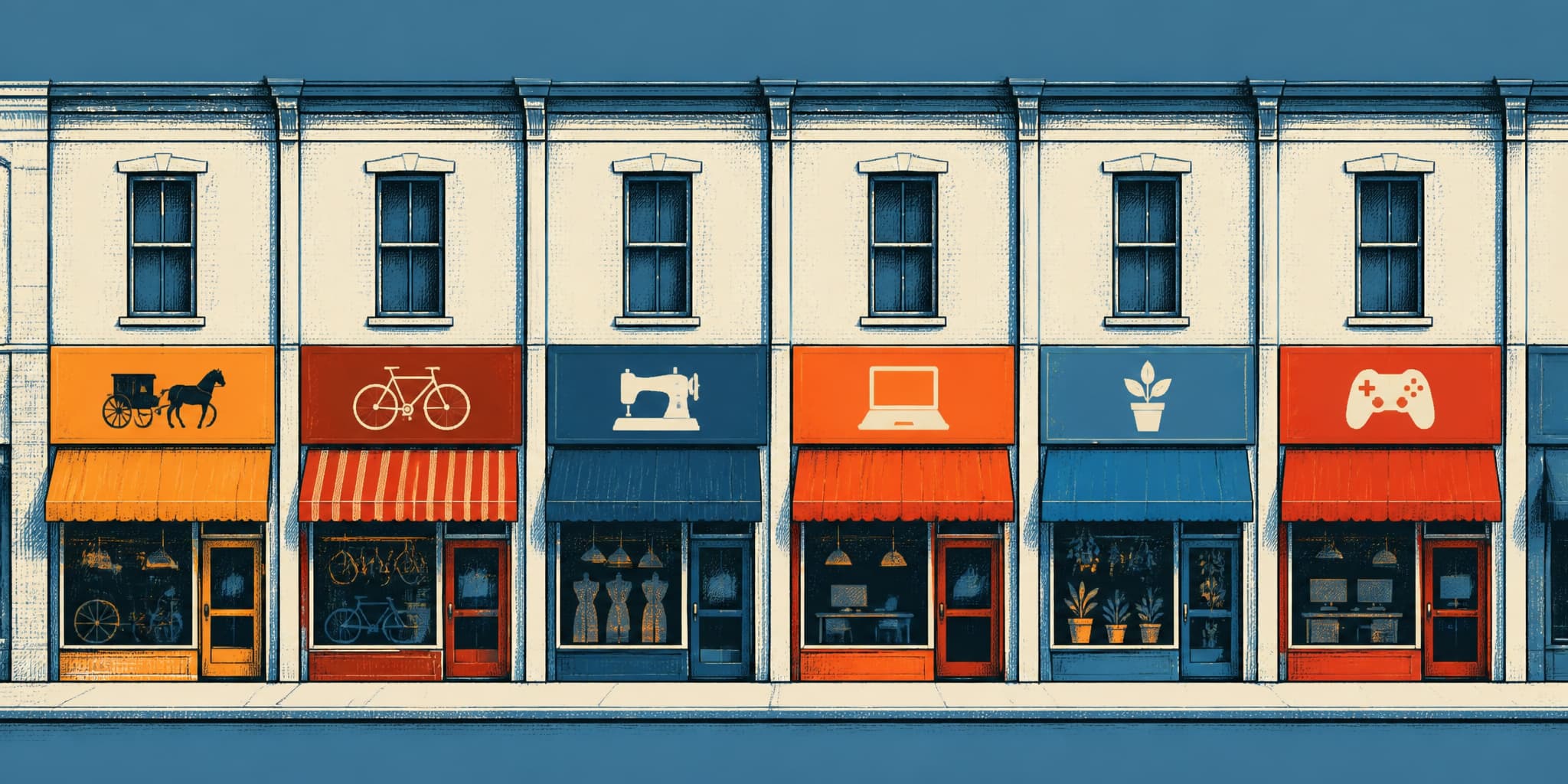
The street was called Sunnyside Avenue until 1921, when neighboring subdivisions petitioned City Hall and won. The boulevard that replaced it has spent the century since holding on to nearly everything else: one- and two-story rooflines, narrow storefronts, the quiet commercial habit of replacing a barber shop with a barber shop. The planning code and the public record explain part of that persistence. Walking the corridor from Edna Street to Ridgewood Avenue fills in the rest.

The Deli at Monterey and Edna
In 1947, someone built a two-story flat-and-store on empty lots at the corner of Monterey Boulevard and Edna Street. A deli opened at street level and stayed for seventy-four years, passing through successive owners before becoming a liquor store around 2021. The building's story begins in assessor records, but its human life was captured by Amy O'Hair in the Sunnyside History Project. This piece builds beside hers.
The Renamed Grid
When Behrend Joost laid out Sunnyside's 2,250 lots in 1891, he named the streets for the men who put up the money. Joost Avenue he kept for himself, the longest one. Spreckels, Wieland, Mangels, Flood: brewery heirs and mining fortunes, mostly German-born like Joost, their capital converted into signage. As the Sunnyside History Project documented, several of these investors never set foot on their namesake streets.
The city began replacing them in three waves. In 1895, duplicate-name confusion took Moulton, swapped for the recently deceased mining senator George Hearst. In 1909, after the earthquake, Spreckels, Wieland, and Milton gave way to Staples, Judson, and Marston. As O'Hair observed, "just putting up capital in real estate speculation was not sufficient virtue to have a street named or renamed for you." The replacements honored a 49er insurance executive, a chemist whose explosives built the railroads, and possibly a Marine captain from the Mexican-American War. Then in 1920, Sunnyside Avenue itself became Monterey Boulevard, and in 1927, Hamburg Street became Ridgewood. Both renames came under pressure from developers of the wealthier residential parks to the west, who, as the Sunnyside History Project notes, "did not wish their pretty work to be tainted by the working-class Sunnyside brand."
Six streets kept their 1891 names: Flood, Mangels, Joost, Edna, Baden, Foerster. Walk them now and you are walking on the names of investors whose money Joost needed in 1891, preserved because no other San Francisco street had claimed the same word.
Jail to Campus

For forty-three years, Sunnyside's southernmost street touched a jail. The Sunnyside History Project's "Sunnyside/Jailside" documents that the Ingleside Jail's high wooden fences met Havelock Street at the neighborhood's southern edge, close enough that when escape alarms sounded, children on Foerster Street knew to run home.
The compound held 300 to 400 inmates behind a 16-foot board fence that storms regularly knocked flat. After a deadly 1930 fire at Ohio's wooden state penitentiary killed 322 inmates, San Francisco condemned its own wood-built jail as a firetrap. Prisoners were transferred to a new facility in San Bruno on September 13, 1934, according to SF Sheriff's Department records, and the buildings came down.
Two years later, the cleared site went to a college that had no campus. San Francisco Junior College, founded in 1935, had been holding classes at twenty-three scattered locations across the city, its students riding streetcars between sessions. The Board of Education approved a 56-acre building plan in 1937. Timothy Pflueger designed Science Hall for the campus's highest point: four stories, 489 feet long, completed in 1940. From Havelock Street today, looking south, the roofline on the ridge is Pflueger's building, set on the same graded ground where the jail compound stood. Sunnyside's southern boundary has not moved in over a century. What it touches has changed completely.
The Same Corridor
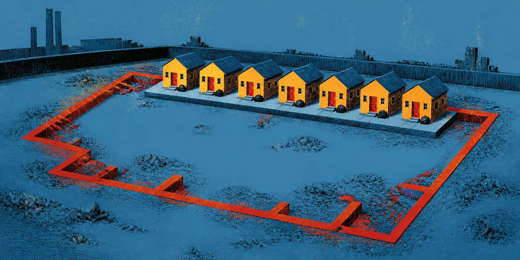
The houses at 117–159 Monterey Boulevard, built around 1940, sit on the footprint of a coal-fired powerhouse. As the Sunnyside History Project documents, that building generated electricity for the San Francisco and San Mateo Electric Railway, the city's first electric streetcar line. On April 27, 1892, the first car carried 240 passengers along what is now Monterey Boulevard at nine miles per hour.
The railway was private, speculative, and short-lived. By 1901 it had been absorbed into United Railroads. The powerhouse was demolished in the 1910s. But the path it cut through Sunnyside persisted. Today the 23 Monterey follows the same corridor, its first Sunnyside stop at Monterey and Baden, the same Baden Street that bordered the powerhouse block. A municipal bus line has no institutional connection to a private electric railway, but the corridor persists: the same path, carrying daily riders 134 years later.