
Baden Street and Martha Avenue
The rock comes through the soil at the top of the knoll. Franciscan chert, the rust-red silica bedrock underlying much of San Francisco's western hills, here worn through thin ground cover by decades of foot traffic until the stone itself becomes the walking surface. The trail was never paved. The formation did the work.
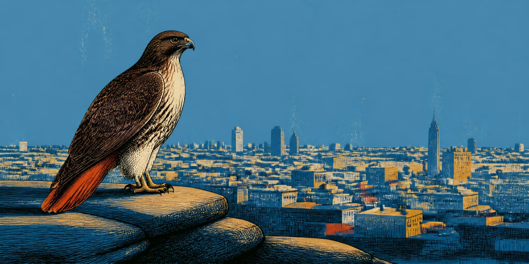
San Francisco Recreation and Park classifies Dorothy Erskine Park as a Natural Area, a designation reserved for sites managed primarily for habitat rather than recreation. The department lists native grassland and scrub. Red-tailed hawks nest in the trees. As the Glen Park Association noted in 2023, the park is easy to miss, perched above the 1100 block of Bosworth and dwarfed by the seventy-acre Glen Canyon Park nearby. There are no benches, no playground equipment, no drinking fountain, no paved path. At the hilltop, where the canopy opens, the view runs southeast across rooftops to the East Bay hills. On clear mornings, the Sunnyside Neighborhood Association reports, you can see Mount Diablo.
The site sits at the intersection of Baden and Martha, on Sunnyside's northeast border where the neighborhood meets Glen Park. You could live here for years and register it only as a scrap of hillside, a geological leftover. The documentary record tells a different story: the knoll exists as open space because specific people decided it should.
"Road cuts and further development"
Amy O'Hair's "A Savior on a Rocky Knoll," published by the Sunnyside History Project, provides the primary narrative of what nearly happened here and what stopped it. Drawing on the San Francisco Chronicle's coverage from February 25, 1979, O'Hair documents that the rocky outcrop at the top of Baden Street was threatened by what the Chronicle called "road cuts and further development."
The phrase repays close reading. "Road cuts" is an engineering term for grading into a hillside to create a level surface for a roadway. "Further development" means construction beyond the road itself. Together they describe a sequence: this knoll would have been broken open, its chert quarried or hauled away, its elevation flattened into something useful for vehicles and foundations. Stand at the hilltop today and look down at the exposed bedrock under your feet, the same Franciscan formation that outcrops along the ridgelines of the western city. A road cut would have turned that stone into aggregate and the hillside into a graded surface. The hawks would have found somewhere else to nest. The view would have belonged to a building's upper floors, not to anyone willing to climb.
The accessible public record does not specify the exact project. No named developer, no subdivision map, no Department of Public Works grading proposal has surfaced in available sources. What the Chronicle's language preserves is the character of the threat: infrastructural and developmental, a road cut followed by building.
Three neighborhood associations organized to prevent it. The Sunnyside History Project's account, again citing the Chronicle, names them: the Sunnyside Neighborhood Association, the Glen Park Association, and the Miraloma Park Improvement Club. Three groups from three neighborhoods, converging on a rocky outcrop that sat at their shared border.
The documentary record does not preserve the petitions they circulated or the hearing dates they attended; it preserves the outcome. But the outcome tells us something about the scale of the effort required. Persuading a city government to spend public money acquiring a steep, rocky, sub-acre parcel with no recreational amenities required sustained, organized, cross-neighborhood pressure. The knoll had no obvious constituency. It was not a playground or a playing field. It was exposed bedrock with a view, and the coalition had to make the case that this was enough.
Proposition J, 1975
The coalition had an argument: this rock is worth keeping. What they needed was a mechanism that made the argument actionable. One had been created only a few years earlier. In 1975, San Francisco voters passed Proposition J, establishing the Open Space Acquisition and Park Renovation Program. The measure set aside a portion of property-tax revenue for fifteen years to purchase open space, acquire property for recreation facilities, and develop and maintain those facilities. Written into the city's fiscal structure was a principle the three associations could point to: not every piece of urban land needed to earn its keep through development. Some parcels served the city better as rock and grass and sky.
The coalition's task was to convince the city that this particular parcel was one of them.
The Board of Supervisors Budget Analyst lists Dorothy Erskine Park as a 0.79-acre purchase for $15,000, dated 1978. Rec and Park's facility page dates the acquisition to 1977. The SNA aligns with the Budget Analyst's date.
The one-year discrepancy may reflect the difference between a commission vote and a completed transaction; it may be a cataloging inconsistency. Both dates confirm the sequence: the coalition fought, the Open Space Fund provided the money, and the city bought the knoll instead of letting it be graded.
Fifteen thousand dollars for 0.79 acres of rocky hillside. The figure is a period artifact, a number from a decade when the city was still learning what its new open-space commitment would cost in practice.
February 1979
The dedication ceremony came that winter. The Sunnyside History Project's account includes a photograph from the event, and Jacqueline Proctor's Mt. Davidson history page identifies the people in it: Mayor Dianne Feinstein, Mary Burns, Tom Malloy of Parks and Recreation, Dorothy Erskine, and Ken Hoegger, whom the Sunnyside History Project identifies as a longtime Sunnyside booster. Proctor's page says the dedication was established by the Sunnyside Neighborhood Association.
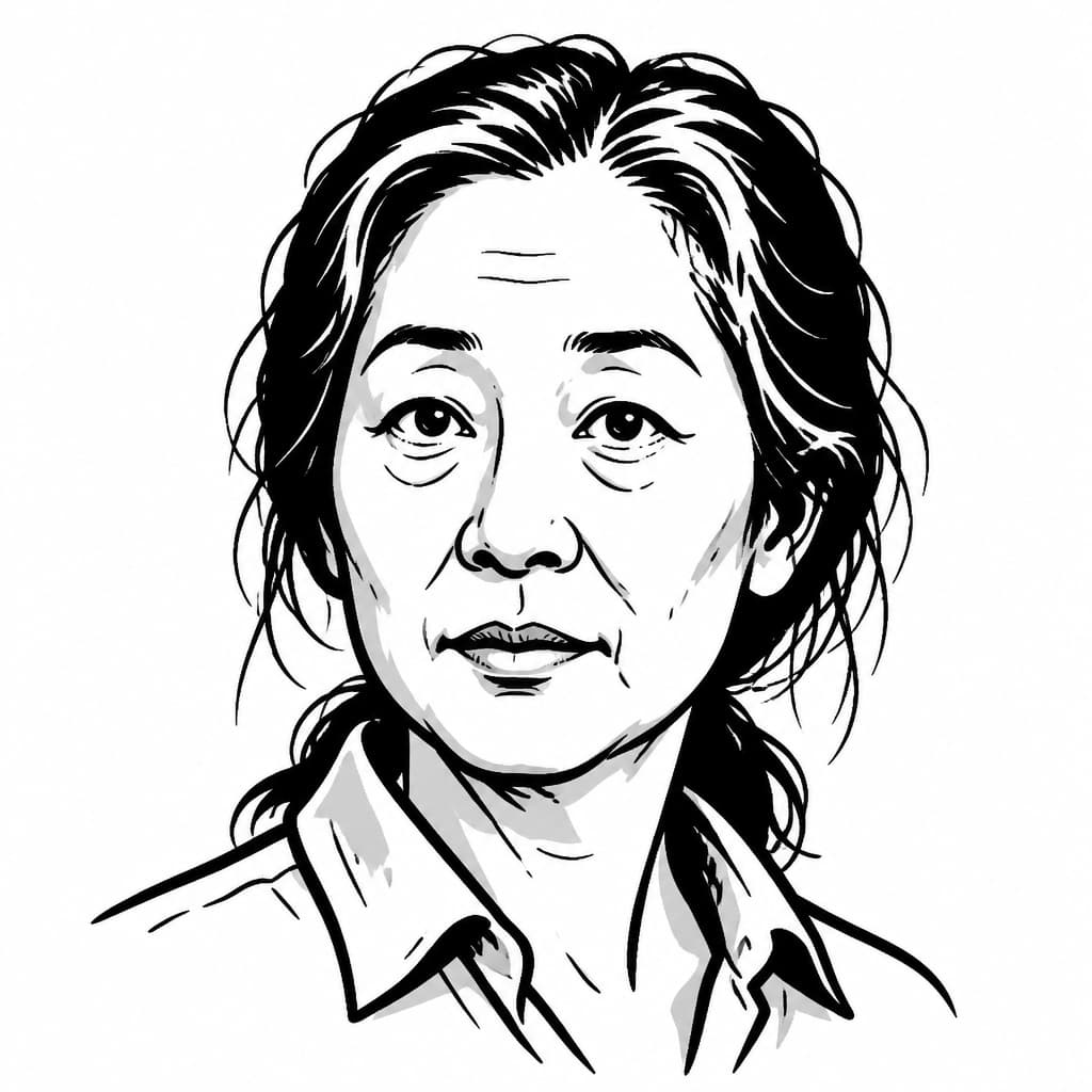
The photograph records a February gathering on a rocky hillside in San Francisco, eucalyptus canopy overhead, chert underfoot. Dorothy Erskine was eighty-two years old. Her conservation career had helped reshape how the entire Bay Area thought about open land. She had helped found SPUR and co-founded the organization that became Greenbelt Alliance. She had served as the only woman on the Bay Conservation and Development Commission. Conferences she helped sponsor had helped launch the Save the Bay movement. And here she stood on a sub-acre knoll that three neighborhood associations had argued was worth $15,000 of public money, while the mayor of San Francisco dedicated it in her name.
The park was not named for her because she personally led the campaign for this knoll; no accessible source documents that she did. The naming honored a conviction the neighborhood coalition shared with her: that a city's open spaces are essential structure, as deliberately maintained as any road or sewer line. The scale of her career was regional. The principle she spent decades institutionalizing could be enacted only at the local level, on specific ground, by specific neighbors willing to organize.
The detail that connects her career to this particular hillside is a through-line she articulated herself. In a 1971 SPUR interview, she said she:
"Never began with open space" but with slums, describing a privately financed Chinatown housing survey in 1938 that supported public-housing advocacy in San Francisco.
SPUR would later describe her approach as an early form of "smart growth environmentalism," linking open-space preservation with directing growth into existing urban areas. In Erskine's framework, keeping a rocky hillside unbuilt was not a refusal of the city but a commitment to how cities function. The Sunnyside, Glen Park, and Miraloma associations, standing on the same principle at the neighborhood scale, made it hold for this specific piece of ground.
Erskine died in 1982. Her papers are held at the Bancroft Library, cataloged as subject files on early conservation in the San Francisco Bay Area.
1.5 acres, 2006
A park without benches requires a different kind of attention. The accessible record is thin for the first two decades after dedication. What survives from the more recent period shows incremental, volunteer-driven stewardship that echoes the cross-neighborhood character of the original preservation effort.
Rec and Park's 2006 Natural Resource Areas Management Plan mapped the site as approximately 1.5 acres of mostly forested land, underlain by Franciscan chert bedrock with exposed rock at the hilltop and along the north and east edges. The plan documented blue gum eucalyptus forest, mixed exotic forest, and a small patch of Italian ryegrass grassland. Red-tailed hawks and red-shouldered hawks were observed nesting and foraging. The acreage figure, notably larger than the Budget Analyst's 0.79, likely reflects the difference between the original purchased parcel and the broader managed natural area, though the record does not explain the gap.
Beneath the eucalyptus canopy on the southern slope, the restoration work has been quiet and cumulative. In 2016, the Glen Park Association reported that Bay Area Young Survivors volunteers and Rec and Park Natural Areas staff had planted California native shrubs there: California sage, sticky monkey flower, morning glory, hummingbird sage, buckwheat. The work pushed back the exotic forest canopy to recover the native grassland and scrub that the chert soil originally supported. The bright southern face of the park, surrounded by bungalows, was being returned to something closer to what it had been before the eucalyptus took hold.
By April 2026, the Sunnyside Neighborhood Association was supporting Friends of Dorothy Erskine Park in ongoing efforts to restore native grassland habitat. The SNA's post noted wildflowers, invasive grasses needing removal, and anise swallowtail butterflies. The park's stewardship, like its original preservation, draws volunteers from both Sunnyside and Glen Park to tend a hillside that sits on the border between them.
Baden and Martha, present
Walk up from Baden Street today and you find the same rock that was here before the city bought it, before the coalition organized, before anyone proposed cutting a road through it. Chert does not register zoning decisions. The thin soil, worn through by foot traffic, exposes the same Franciscan formation that surfaces in Glen Canyon to the north. The hawks still nest. The native plantings are slowly reclaiming ground from the eucalyptus. The view, on a clear morning, still reaches to Mount Diablo.
The record, though, makes the place legible in a way the rock alone cannot. The knoll is 0.79 acres that three neighborhood associations argued was worth $15,000 of public money, using a funding mechanism the city's voters had created only three years earlier. It is a piece of ground that exists as a park because specific residents of Sunnyside, Glen Park, and Miraloma decided that a rocky hillside with a view was infrastructure worth preserving.
The Sunnyside History Project's "A Savior on a Rocky Knoll" preserves the story that the knoll itself cannot tell. The chert holds no record of what was proposed for it or who intervened. The documents do. Between the geology and the filing dates, the neighborhood inherits a place whose ordinariness is precisely the achievement: it looks like it was always here, which is what the people who saved it intended.
-
The fund behind it: Dorothy Erskine Park was one of many acquisitions made possible by Proposition J's Open Space Fund, whose full property acquisition table lists every parcel the city purchased for open space between 1975 and 1990.
-
Erskine's own words: SPUR's 1999 publication includes a 1971 interview with Dorothy Erskine in which she traces her conservation career back to a 1938 Chinatown housing survey, connecting urban density and open-space preservation as two sides of the same commitment.
-
The organization she built: Dorothy Erskine co-founded Citizens for Regional Recreation and Parks in 1958, an organization that evolved through several names before becoming Greenbelt Alliance, which continues to advocate for Bay Area open space and farmland protection.
-
SNA's founding year matters: The Sunnyside Neighborhood Association was established on September 24, 1974, meaning it was barely four years old when it helped lead the coalition that secured Dorothy Erskine Park.