

Reading the Blocks

Walk any Sunnyside block and the facade materials change mid-stride. Wood clapboard gives way to stucco. A pitched roofline with carved brackets drops to a flat postwar parapet. Wrought-iron grilles from one decade sit six feet from shingle siding installed two decades earlier. These seams were never smoothed over, and they never needed to be.
As the Sunnyside History Project has documented, almost no house in the neighborhood was architect-designed. The blocks filled in three uncoordinated waves: pre-1906 wood-frame cottages, 1920s stucco homes built during the neighborhood's dominant construction boom, and postwar infill on the hillier streets that stayed empty longest. Because Sunnyside was platted as a speculative grid rather than a curated residence park, each wave's builders followed the pattern-book conventions of their moment without reconciling them to what already stood next door.
What they left behind is a construction timeline encoded in roofline, setback, material, and ornament, legible from the sidewalk if you know what each detail marks. You have been walking past it for years. The pages ahead are a reading lesson.
The Forty-Year Fill


SF Assessor records date 313 Hearst Avenue to 1900 and 2 Foerster Street to 1925. Both addresses sit south of Monterey Boulevard, comparable distance from the old streetcar corridor, comparable elevation, same subdivision platted the same year. The obvious explanation for the twenty-five-year gap is grade: Foerster climbs steeper terrain, so builders got there later. But the low-numbered Foerster houses occupy lots no higher than their Hearst counterparts. The gap is not vertical. Walk the residential cross streets between Hearst and Foerster, and the facades sort themselves into decades — siding materials, window proportions, the appearance of garages — recording a fill that moved not uphill but westward, one street at a time.
The Forty-Year Fill
SF Assessor records date 313 Hearst Avenue to 1900 and 2 Foerster Street to 1925. Both addresses sit south of Monterey Boulevard, comparable distance from the old streetcar corridor, comparable elevation, same subdivision platted the same year. The obvious explanation for the twenty-five-year gap is grade: Foerster climbs steeper terrain, so builders got there later. But the low-numbered Foerster houses occupy lots no higher than their Hearst counterparts. The gap is not vertical. Walk the residential cross streets between Hearst and Foerster, and the facades sort themselves into decades — siding materials, window proportions, the appearance of garages — recording a fill that moved not uphill but westward, one street at a time.
Block Face / Ground Floor

Mangels Avenue, 300–400
Bare hillside in 1938, twenty-two houses by 1962. The SF Assessor dates nineteen of them to a three-year window. Walk the east side of Mangels between Detroit and Edna with the construction dates in hand and the buildout becomes legible: who committed first, where the last gaps filled, and why a 918-square-foot house sits next to one twice its size on a lot of identical dimensions.
What the Ground Floor Absorbed
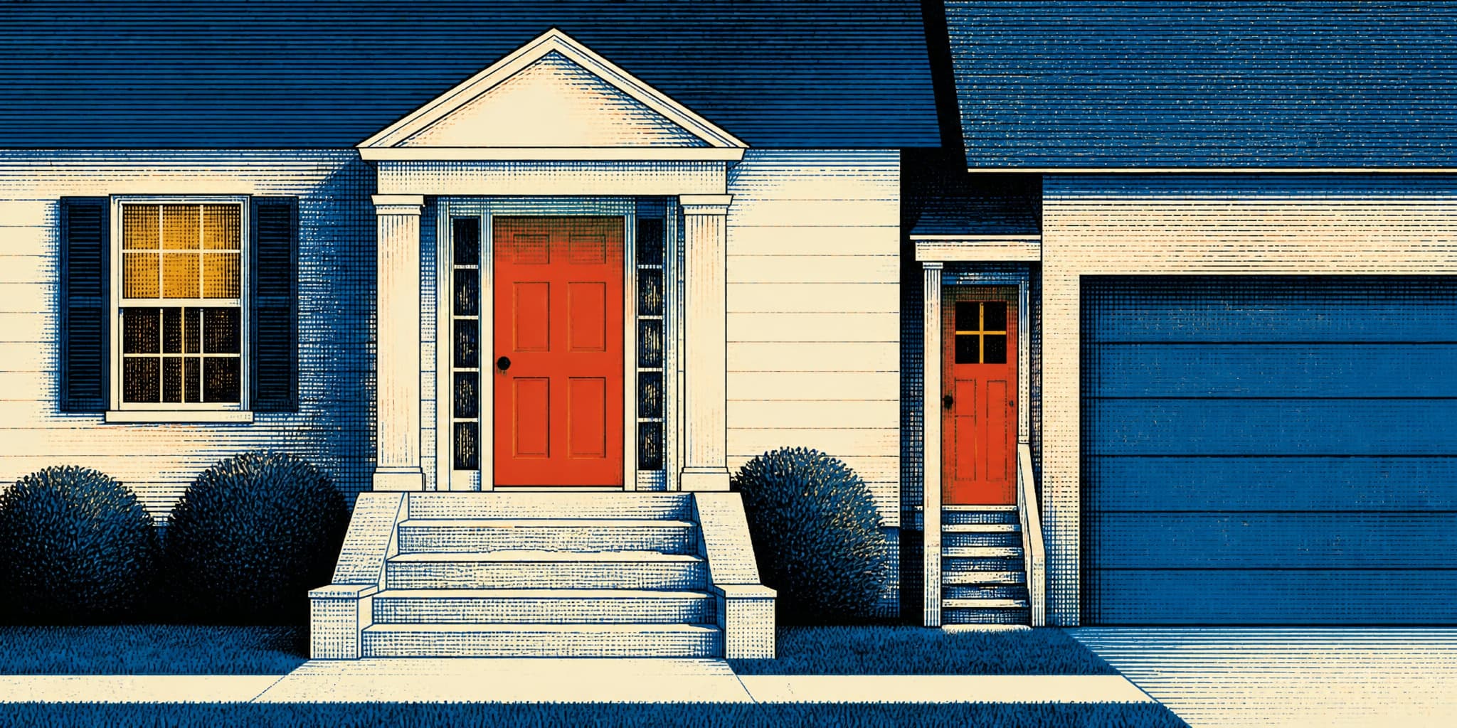
A 2006 DBI permit for 715 Monterey Boulevard compresses the whole story into a scope-of-work field: "enlarge garage door… move ext. stairs to enlarge garage door." The stairs moved so the car could fit. That transaction played out across Sunnyside's ground floors for decades. Garages cut into facades, entry stairs compressed to one side, curb cuts requested and sometimes denied. Four modification types are still visible from the sidewalk, once you learn what to look for.