The Wrong Starting Line
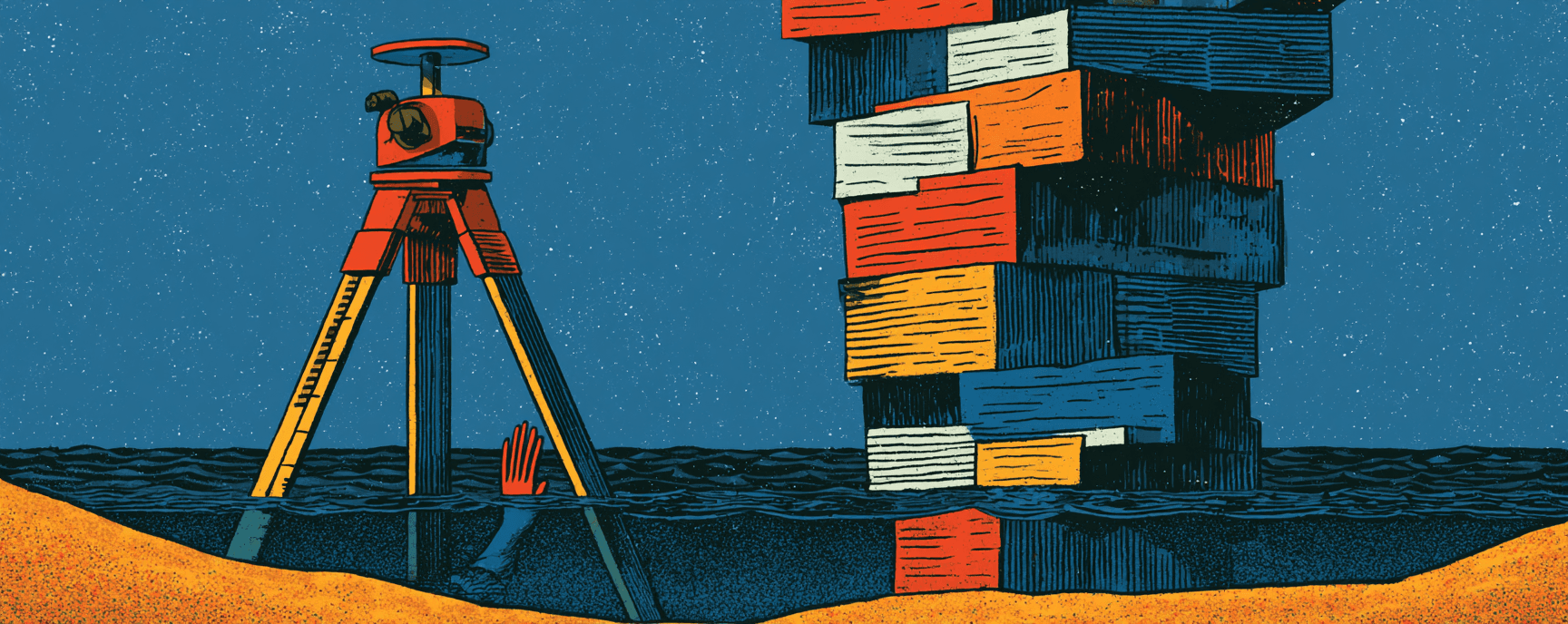
Every coastal flood map, insurance premium, and adaptation budget starts from a single assumption: where the water sits at rest. A March 2026 study in Nature found that more than 99% of coastal hazard assessments got that starting point wrong. The average error exceeds the total sea-level rise measured since 1900. It is largest in Southeast Asia and the Pacific, smallest where most researchers sit. A corrected dataset is now public. The distance between that dataset and a revised flood map in a county planning office is measured in years. Who lives in the gap is not random.
The Wrong Starting Line
Every coastal flood map, insurance premium, and adaptation budget starts from a single assumption: where the water sits at rest. A March 2026 study in Nature found that more than 99% of coastal hazard assessments got that starting point wrong. The average error exceeds the total sea-level rise measured since 1900. It is largest in Southeast Asia and the Pacific, smallest where most researchers sit. A corrected dataset is now public. The distance between that dataset and a revised flood map in a county planning office is measured in years. Who lives in the gap is not random.
The Papers
Sea level much higher than assumed in most coastal hazard assessments
Geoid models were free, standardized, and convenient. Tide gauge data requires local calibration. Convenience won, and 90% of the literature inherited the same low floor.
No. The ocean hasn't changed. The starting elevation in nearly every coastal risk assessment was wrong, meaning flood exposure timelines may be off by decades.
The Papers
Deadly heat stress conditions are already occurring
Theoretical modeling from 2010, not empirical human testing. Lab studies had already revised it downward; this paper confirms the revision holds across real-world heat events.
Occupational heat standards, cooling center activation triggers, and outdoor work guidelines across the US Southwest are calibrated to a survivability ceiling that actual physiology breaches well below.
The Papers
Two studies project AMOC weakening far beyond current climate model estimates
AR6 relied on models now shown to systematically underestimate AMOC sensitivity. Bias-corrected projections land in substantially worse territory.
Greenland ice sheet melt, which accelerates freshwater input to the North Atlantic. Including it would push the projection further. How much further is genuinely unknown.
The Papers
Health insurance as climate adaptation
It treats health insurance as infrastructure that can be recalibrated to climate conditions, not a fixed product designed for a stable baseline.
The companion paper shows outdoor workers, disproportionately low-income and nonwhite, face the highest exposure with the thinnest coverage. The trigger framework addresses this directly.
The Original Wrong Baseline

In 1922, negotiators divided 16.5 million acre-feet of Colorado River water per year among seven states. They were working from flow records that happened to capture one of the wettest stretches in the basin's modern history. The long-term average is closer to 15 million acre-feet. Since 2000, actual flows have averaged 12.4 million. Every dam, canal, farm contract, and municipal tap built since rests on that original miscalculation.
The operating agreements governing Lake Powell and Lake Mead expire in December. The seven basin states missed their February consensus deadline. Lake Powell holds 26% of its capacity. Lake Mead, 34%. The Bureau of Reclamation has said it will impose terms by October 1 if no deal materializes. Forty million people drink from the outcome.