

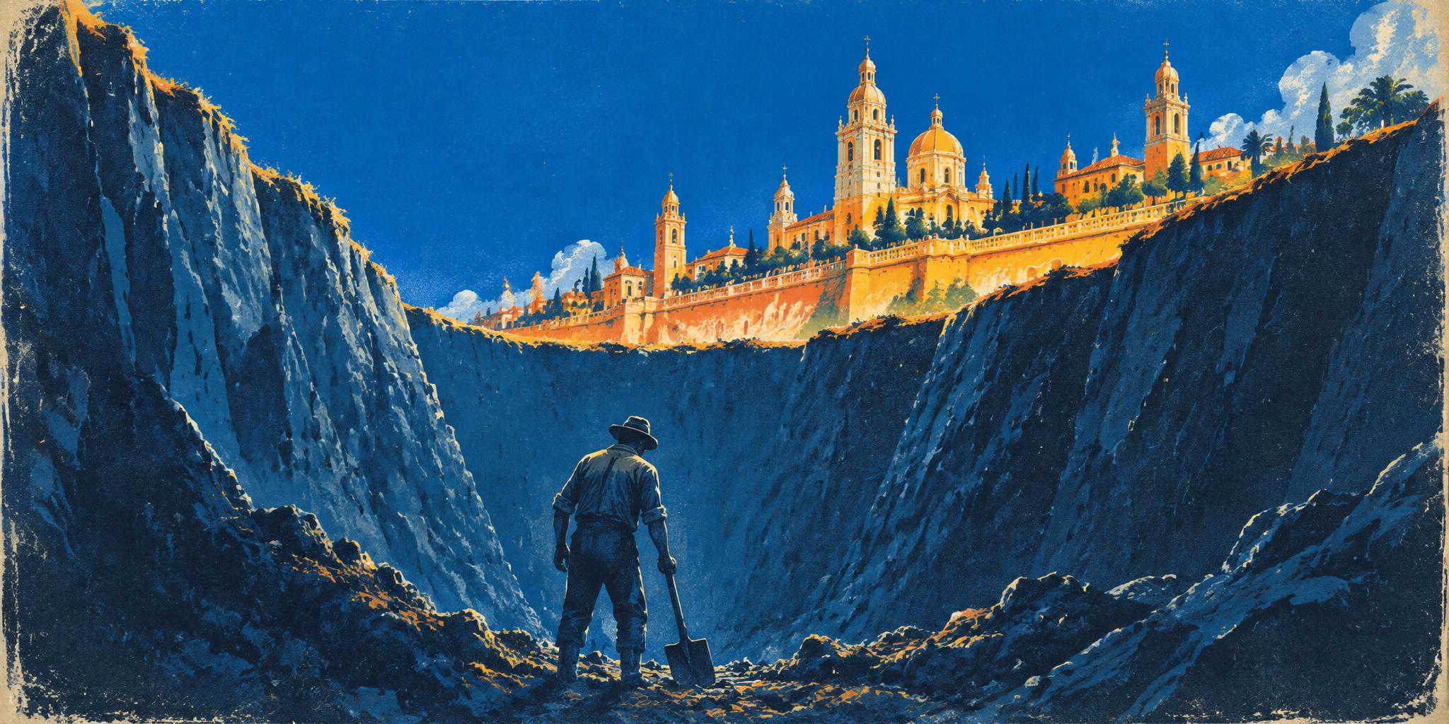
In 1631, the Spanish crown asked whether its flooded American capital should be rebuilt on higher ground. The city said no and chose to drain its lakes instead. That choice has needed tending ever since, and the people who did the tending were rarely the people who were asked.
On St. Matthew's Day, September 21, 1629, after a violent storm, Mexico City went under. The Dominican friar Alonso Franco, who chronicled the flood, described the capital as "hecha un mar de agua": made into a sea of water.
What Franco recorded, mostly, was a city rearranging its days. Food arrived by canoe. So did merchandise, funerals, and the Eucharist. Carpenters built wooden footbridges high enough for canoes to pass underneath. Priests said Mass on convent rooftops, and families in nearby houses followed along from their own windows and terraces. They could see the service even when they couldn't hear it.
Four days into the flood, according to later religious histories, the Virgin of Guadalupe, the city's most revered religious image, was brought by canoe from her shrine at Tepeyac, just north of the city. She stayed until May 14, 1634. The water wasn't equally deep the whole time; one account has it dropping in 1631 and coming back late in 1633. But the city kept its protector inside the flood for four and a half years, and "about five years" is how the disaster has been remembered ever since.
The decisions that followed are usually told as an argument among officials, in council chambers in Mexico City and in Madrid, and the documents support that telling. They also show that by the time anyone in power decided anything, the people in the water had already worked out how to live with it. What came next depended a great deal on whose knowledge, and whose labor, the men in those chambers were willing to count.
A capital inside a lake
Mexico City sits in a high mountain basin, a valley ringed by mountains, where rain and rivers have no natural way out. In the 1620s the basin held a chain of connected lakes. Water that ran in either evaporated or soaked slowly into the ground, and in wet years the lakes rose.
The Spanish had built their capital on the ruins of Tenochtitlan, the island city of the Mexica, the people often called the Aztecs. The Mexica and their neighbors had managed the lakes for generations. In the fifteenth century a long dike associated with the ruler Nezahualcóyotl separated the fresher western waters from salty Lake Texcoco. After the conquest the Spanish repaired the dikes and added more of their own. The lake they inherited was already an engineered landscape.
In 1607 colonial officials tried something new. Under Enrico Martínez, a German-born engineer and mapmaker working for the crown, Indigenous laborers dug a tunnel at Huehuetoca, at the basin's northern edge, to send the Cuautitlán River out of the valley entirely. Testimony from the time put the number of Indigenous people who worked on it in 1607 and 1608 at more than 60,000. The idea was simple: a river that never reached the lakes couldn't flood them.
In 1629 the tunnel didn't save the city, and accounts still disagree about why. The historian Jorge Gurría Lacroix tells a version in which Martínez blocked the tunnel himself and diverted water toward Lake Zumpango. Others blame collapsed stone inside it, or repairs that were never paid for. Martínez's own explanation, as Alexander von Humboldt recorded it nearly two centuries later, was that sending that much water through would have destroyed the costly works. His accusers said he wanted to prove the city couldn't survive without them.
Anyone who has watched a levee or flood-control budget get cut after a few quiet years will recognize the shape of that accusation. When protection works, the result is a flood that doesn't happen, and that is hard to point to when the money is being divided up. Martínez's critics claimed he had made the system's value visible by letting it fail. Nobody can recover his motives now. What the record does show is that the viceroy, the Marqués de Cerralbo, who governed the colony for the king, had him jailed, and then, on January 12, 1630, put him in charge of further repairs with a budget of 200,000 pesos.
How the flood was counted
The figures most often repeated about the flood come from a letter Archbishop Francisco Manso y Zúñiga reportedly sent the king on October 16, 1629. In it, 30,000 Indigenous people had died, and the city that had counted 20,000 Spanish families was left with fewer than 400 vecinos, the householders who held city citizenship. The letter switches units partway through the sentence. Both numbers reach us through a church history published in 1649, and nearly every later retelling leans on them.
The historian Louisa Hoberman, whose 1974 study remains a foundation of the field, doubted the second figure. A 1628 map listed 10,000 Spanish heads of household, not 20,000, and the city council claimed 10,000 again in 1636, which suggests that whatever the exodus amounted to, it didn't last. She also found that Indigenous population estimates don't show the permanent collapse some accounts imply. One report said only 600 Indigenous adults registered to pay tribute, the colonial head tax, were left, but it dates from the worst of the emergency and can't tell the dead apart from people who had simply gone somewhere drier.
The archbishop's sentence counts Indigenous people as bodies and Spaniards as households, and the household figure measures who left rather than who died. The surviving documents say far more about which Spanish families were absent than about which Indigenous neighborhoods were burying people, and that imbalance doesn't go away in the records that come later.
The case for higher ground
By 1631 the question had reached Madrid. That spring the Council of State, the king's senior advisers, unanimously backed moving the capital, according to the geographer Alain Musset, who reconstructed the episode from archives. Among them was the Marqués de Gelves, a former viceroy who knew the city firsthand. On May 19, King Philip IV ordered officials to examine higher, drier sites to the west, among them Tacuba and Tacubaya. The order also tried to halt private building in Tacubaya, Coyoacán, and San Agustín de las Cuevas, so that new construction wouldn't get ahead of any later allocation of lots. From the start, then, the crown expected that people who could afford to build would reach the high ground before any decision did.
The order called for study. It didn't authorize or fund a move. And in New Spain, as the colony was called, opinion wasn't neatly split between moving and staying. Cristóbal Molina, a royal accountant, wanted to leave because he believed the floods could never be controlled. Archbishop Manso had urged patience back in 1629: wait for the water to fall, see what survived, consult the city's institutions.
The city council and most of the religious orders, the friars and nuns who ran many of the city's churches and convents, opposed moving. They valued the city's buildings at about 50 million pesos and put the cost of draining the lakes at roughly 4 million. Both were advocacy numbers rather than audits, but they set the terms: walk away from an enormous investment, or spend a fraction of it defending what stood.
They also revived a sentence written after an earlier flood, in 1555, by Viceroy Luis de Velasco. Indigenous people, he had warned, could not be forced to build a city somewhere else: "sin ellos no se puede hazer una casa." Without them, not one house could be built.
Velasco was stating a practical fact, and it cut both ways. Rebuilding on the hills required Indigenous labor, and so did draining the lakes. Yet in the documents historians have used to reconstruct the debate, the people whose hands made either future possible appear only as a limit on what officials could do. What they themselves might have wanted isn't recorded.
When the king's order reached Mexico City, the body that answered for the city was its council. On November 12 the council rejected relocation as unworkable.
Historians have not found a decree that formally closed the matter; it faded. Cerralbo later summed up the case in a single phrase: "conservar se puede, mudarse no." It could be preserved; it could not be moved.
Then the water left on its own. Hoberman's account has the city still flooded through 1632 and 1633 and dry by 1634, thanks to lighter rains, evaporation, and, as people believed then, earthquakes that opened new paths underground. In that account, weather and the ground ended the great flood, not the drainage works. The city committed to the works anyway, because by every measure the decision-makers had, staying looked better than leaving.
Drain the lakes or manage them
Deciding to stay left a second question: drain the lakes, or learn to manage them? This, too, was a live choice at the time.
In 1614 the crown had brought in Adrian Boot, an engineer from the Netherlands, a country that survived below the waterline by controlling water rather than removing it. Boot proposed repaired dikes, a canal ringing the city, gates, dredging, and wind-powered pumps. Canoe traffic would keep running and lakeshore farms would survive. Even a later, larger version of his plan, discussed by Vera Candiani in Dreaming of Dry Land, came to about 340,000 pesos in construction costs. That estimate comes from a different moment than the 4 million the city's defenders would later put on drainage, and it left out what keeping his system running would cost.
What Boot was offering was management with no end date: gates someone had to open and close, machines someone had to keep running, wind that might not blow. The historian Laura López lays out the real obstacles. The lake near the city sat lower than the northern outlet, so water wouldn't flow out that way by itself; the machinery was expensive; the wind was unreliable. No historian has shown his full system would have worked.
When Boot recommended repairing certain canals, Martínez waved it off as something Indigenous people already did. He meant it as a put-down. It is also an admission that a working body of lake knowledge existed and that the colonial engineers knew about it. The officials defending the decision to stay knew it too: their 1637 compilation of documents, the Relación universal, cited the earlier inhabitants' great dike of wood and stone as proof the site could be defended.
The friars didn't line up on one side either. Fray Andrés de San Miguel, a Carmelite friar and architect, proposed turning Martínez's tunnel into an open channel and using flowing water to help carry off the excavated earth. A small trial worked. He also wanted to protect fishing and irrigation around Chalco and Mexicalzingo, the southern lakes where people farmed and fished.
In the end, part of what decided it was being able to see the thing. In 1630 Cerralbo wrote that he wanted works that would "nos muestre a la vista sus efectos y necesidades": show us, before our eyes, their effects and their needs. A tunnel hid its problems underground until they drowned a city. An open trench could be walked, inspected, cleared. In July 1637 officials committed to opening the passage at Nochistongo, along Martínez's route, into a trench open to the sky. After what they had just lived through, wanting a system you could see was a sensible lesson to draw.
The digging fell, as before, on Indigenous towns. Each owed rotating work shifts called tandas, and in 1637 those shifts grew from two weeks to a month, at two reales a day (eight reales made a peso). In 1635 the town of Tepotzotlán reported that 1,416 of its tribute-paying adults had died in an epidemic of cocoliztli, a lethal disease of the period, and asked to be excused from sending its 50 workers. The viceroy granted the request by moving the quota to other towns. The total number of laborers stayed the same, and the neighboring towns made up the difference.
The city's property owners paid in money, through special levies on property, rents, and goods, and through taxes on wine. So the cash came largely from inside the city, while the workers came from the towns around it.
Centuries of digging
The Nochistongo trench is traditionally described as finished in 1789, 152 years after it was approved. As the lakes shrank, the drainage agency became more than a work crew. It gained control over the land the receding water left behind.
Most of what we know about Indigenous towns in this period comes from their petitions and lawsuits, written in the language of colonial government. Asking officials for something is how they entered the record, and the petitions are where their own words survive. Teoloyuca, near the works, won water rights in 1666 in exchange for maintaining a bridge and a dam. In February 1743, Tacuba and Cuautitlán asked to be spared from widening the channel during an epidemic. The official in charge refused.
In 1770 officials locked the gates at the Pila Real, a control point on the works, cutting off water Teoloyuca relied on. Townspeople, landowners, and a priest wrote that crops, people, and animals were suffering, and Viceroy Croix ordered the gates reopened. Over the following decades Teoloyuca kept fighting over the right to cut reeds and to plant the lakebed that dried out each season near the works. Candiani found that the colony's high court never ruled against the drainage agency in those disputes, and restrictions on farming tightened. Land the town had used for reeds and seasonal crops, as the water came and went, ended up under the agency's control.
Independence from Spain, in the early nineteenth century, didn't interrupt the project. The Gran Canal del Desagüe, the Great Drainage Canal, opened on March 17, 1900, carrying water north through a tunnel at Tequixquiac and out of the basin by gravity.
By then the ground itself was moving. The twentieth-century city drew much of its water by pumping from the aquifer, the water-soaked layer beneath the old lakebed; groundwater still supplies about 70 percent, by one 2021 estimate. That lakebed is thick, wet clay. Pump the water out and the clay compacts, and the surface sinks, a process called subsidence. A National Research Council report found that by 1950 the city had dropped so far that sewage and stormwater had to be pumped uphill into the Gran Canal. The downhill slope the whole system depended on was gone.
The response was more construction, including a deep drainage network whose first section opened in 1975. In 2002 a pumping station started up along the Gran Canal, its 14 submerged pumps built to lift water as much as 8.2 meters, about 27 feet, back into a canal designed to run downhill. In 2019 the government opened the Túnel Emisor Oriente, some 62 kilometers long, built to carry water by gravity far beneath the sinking surface.
Cerralbo had wanted an open trench so the city could watch its own defenses. Much of that defense now runs through tunnels far below the streets, out of sight of anyone walking them.
The ground does not sink evenly
A 2021 study led by Estelle Chaussard measured the ground dropping as much as about 50 centimeters (20 inches) a year near the old Texcoco lakebed and roughly 5 to 9 centimeters a year in the historic center, the old island city. Its title states there is "no hope for significant elevation and storage capacity recovery," because compacted clay doesn't spring back. Early radar from a joint NASA–India satellite, covering October 2025 to January 2026, showed areas sinking more than two centimeters a month.
The worst damage often comes where soft lake clay meets the volcanic rock around it, so neighboring patches of ground sink at different speeds and whatever sits on top bends and cracks. Researchers have mapped strong uneven sinking in parts of Iztapalapa, Tláhuac, Xochimilco, and around the airport, in the city's east and south.
Part of the city's supply is piped in from outside the basin through the Cutzamala system, which pumps water uphill roughly 1,100 meters (about 3,600 feet). During the 2024 drought its reservoirs fell to about 26 percent, and in June officials cut deliveries by nearly a quarter. After a wet 2026 rainy season the reservoirs were nearly full again, which eases pressure on the imported supply. Full reservoirs don't change what is happening to the clay underneath.
In 2024, reporters went to Iztapalapa, a large, mostly working-class district in the east. Elizabeth Pinzón Ramírez, in the Desarrollo Urbano Quetzalcóatl neighborhood, told El País that water came about twice a week and she stored it in containers: "A veces cae, a veces no." Sometimes it comes, sometimes it doesn't. Another Iztapalapa resident, Andrés Navarro, put it more flatly: "Toda mi vida he vivido sin agua." I've lived my whole life without water. Juana Acosta and José Luis Pérez told the Associated Press in April 2024 they had waited 15 days, a week longer than usual. "They didn't used to leave us like this for a long time without water," Acosta said.
No study can say how much of one family's shortage traces to sinking ground and how much to everything else straining a system that serves millions. But the same eastern districts show up on the subsidence maps and in the shortage stories, and the people who live there are the ones doing the daily work of storing, rationing, and waiting.
Still tending the water
Some recent efforts try to hold water in the basin instead of sending it away, from a federal ecological park on the old Texcoco lakebed to smaller work in the south that is older in spirit. In San Gregorio Atlapulco, in Xochimilco, the Associated Press followed Jasmín Ordóñez and Cassandra Garduño in 2025 as they cleared clogged canals and kept up small sheltered pools, filtered by plants, that grew out of university conservation work. As women, they have also had to fight for land that families traditionally passed to sons. "My grandmother didn't get any land," Ordóñez said. "Back then, most was left in the hands of men." Their canals won't replace a citywide drainage network. What they keep going is a way of living with the lake, in the same southern waters Fray Andrés de San Miguel wanted to protect in the 1630s, and it is the kind of upkeep Martínez once dismissed as something Indigenous people already did.
The men who settled Mexico City's course between 1631 and 1637 were not choosing a sinking city. They chose first between abandoning 50 million pesos of churches and houses or defending them, and then between a tunnel that had failed and a trench they could inspect. Each step was reasonable given what they knew. The managed lake Boot had proposed would have needed its gates opened and its machines kept running forever, and it faced real engineering problems besides.
The city got that kind of endless tending anyway. It has been spread across centuries, and it has fallen mostly on people who had no say in the decision: the towns that owed laborers to the trench, the farmers who lost the seasonal lakebed to the drainage agency, and now the eastern districts where the ground sinks fastest and the water comes on some days and not on others. Cerralbo was right that the city could be preserved, though the people who have done most of the preserving were rarely the ones he consulted.
- A full year of radar: The first NISAR images covered only October 2025 to January 2026, so watch for annual sinking rates as NASA/JPL's mapping of Mexico City extends across a complete wet and dry cycle.
- Where damage concentrates: The fastest-sinking ground and the most damaging distortion are different measurements, and Fernández-Torres and colleagues' study of differential subsidence maps how uneven movement in Iztapalapa, Tláhuac and Xochimilco puts infrastructure at risk.
- The archives behind 1631: Elienahí Nieves Pimentel's 2025 dissertation on hydraulic works in the basin reconstructs the council's rejection of relocation, the post-flood tunnel repairs and the 1637 open-cut decision from colonial records.
- What Texcoco's park does: CONAGUA's January 2026 account of the Texcoco ecological park describes more than 14,000 protected hectares, but no independent evidence yet shows whether the park holds back floods or helps refill the aquifer.