

The road to Bishop's Lodge was bad on purpose. The resort sat several miles north of Santa Fe up a rough grade, and in November 1922 the drive discouraged anyone without specific business there. Herbert Hoover, secretary of commerce and chair of the Colorado River Commission, had picked the site for exactly that. He also reassigned the rooms — from four men each to two — which pushed the advisers and staff back down to town and made them commute the road every morning. Seven states had claims on the Colorado. The claims added up to more than the river carried. Hoover wanted the men who would reconcile that arithmetic in one building, with limited opportunity to leave it.
They held eighteen formal sessions over sixteen days, November 9 through November 24. What they signed at the end would govern the allocation of the river for a century, and it rested on a figure derived from roughly two decades of streamflow records — records that captured, as later science would show, an unusually wet stretch in a system prone to droughts lasting decades. Nobody at the table had any means of knowing that. The methods that would eventually reveal it were fifty years from being developed.
The men in the room
Hoover was an engineer by training and a political operator by practice. He had run wartime food relief across Europe, he held a cabinet position, and he controlled the meeting procedure without representing any state's interest. When discussion circled, he proposed numbers. When numbers failed, he moved the conversation into private sessions whose contents the official minutes do not fully record.
The commissioner who shaped the outcome most was Delph Carpenter of Colorado — lawyer, former state senator, raised by a farming family in an irrigated valley. Carpenter had spent years developing a theory of interstate water compacts as an alternative to Supreme Court litigation, and he arrived at Bishop's Lodge holding a piece of very fresh legal knowledge that made delay feel intolerable. Five months earlier the Supreme Court had decided Wyoming v. Colorado, applying the doctrine of prior appropriation across a state line. Prior appropriation, for readers who haven't had to live under Western water law: first in time, first in right. Whoever diverts water first and puts it to use holds a senior claim against everyone who comes later, and in a dry year the senior claim is satisfied before the junior one gets anything at all. The ruling meant a downstream state's existing diversions could establish priority over an upstream state's future ones.
Carpenter could see what that implied for the Colorado. California was already diverting. The Upper Basin states — Colorado, Wyoming, Utah, New Mexico — had not yet built their major projects. Every year of delay hardened California's legal position while the Upper Basin's water ran downhill and became someone else's right.
Winfield Scott Norviel of Arizona brought a different geography to the table. Nearly all of Arizona lay inside the Colorado's drainage, and the state depended on the main stem and on the Gila River system, a major tributary entering from the east. Norviel wanted federal storage, protection of what Arizona already used, and room to grow. He would become the principal source of friction in the final week, and he would be right about the thing he objected to.
California's commissioner, state engineer W. F. McClure, said less in the recorded proceedings than Carpenter or Norviel did. He didn't need to say much. California's position shaped nearly every bargain in the room without anyone having to state it aloud. The state's population had grown 44 percent in the previous decade. The Imperial Valley, drinking Colorado River water since 1901, had reached roughly 400,000 irrigated acres. California wanted a big main-stem storage dam and an All-American Canal, and Congress would authorize neither while seven states were in open conflict. California needed a compact to get its dam. The Upper Basin needed a compact to survive California getting its dam.
Stephen B. Davis Jr. of New Mexico, a former state supreme court justice, kept pushing for a state-by-state division and kept bringing detailed irrigation-requirement estimates to support it. James Scrugham of Nevada — mechanical engineer, state engineer, and elected governor while the Bishop's Lodge sessions were still running — had comparatively little irrigable land at stake and became the room's broker. Frank Emerson of Wyoming and R. E. Caldwell of Utah, both state engineers, shared Colorado's anxiety about downstream priority. Caldwell also left the clearest surviving statement about the quality of the data everyone was relying on. Reconstructing the river's natural flow from the observed measurements, he said, would be "very difficult, impossible, practically."
The number they had
The unit they were dividing was the acre-foot: enough water to cover one acre a foot deep, about 326,000 gallons, roughly what a couple of Western households used in a year at the time. The river they were dividing had been measured, in various places and with varying consistency, for about twenty years.
The USGS had operated gauging stations in the basin since the 1890s — fifteen by 1895, 109 by 1910 — but the network was patchy and the record had holes. Stations opened, ran a few seasons, and closed. A gauging station does not measure flow directly. It measures water surface height against a staff or a float, and that height gets converted into a discharge volume through a rating curve, which is built by going out in a boat with a current meter and measuring velocity across the channel at a range of stages. The curve holds only as long as the channel does. On the lower Colorado, running through sand and silt, the channel did not hold. At Yuma the bed scoured and filled with the flood cycle, and the same gauge height meant different volumes in different years.
The station at Lees Ferry — the location that would become the compact's dividing point between basins, though the legal point, Lee Ferry, sits about a mile downstream of the gauge — began operating in May 1921. Eighteen months before the compact was signed. Any long-term average at Lees Ferry had to be reconstructed from stations elsewhere on the system, then adjusted for tributary inflow, for what irrigators upstream had taken out, for what the channel lost to seepage and evaporation on the way down. It was an estimate assembled out of real measurements made at the wrong locations.
The figures the commissioners worked from came mainly from the Fall-Davis report, a Bureau of Reclamation investigation into flood control and storage for the Imperial Valley. On November 14, Reclamation director Arthur Powell Davis and hydrologist Ralph Meeker presented the commission with a reconstructed Lees Ferry figure of about 16.5 million acre-feet a year, and a figure at Laguna Dam of about 16.4 million. Different calculations, slightly different periods, different adjustments. In the room they converged into a single working premise: the river delivered something in the range of 16 to 17 million acre-feet a year at the points that mattered.
One federal scientist had raised a flag. Eugene Clyde LaRue, a USGS engineer, had warned in a 1916 report that prospective demands on the river might exceed what it could supply, and he later sought Hoover's ear. But his warning was never put before the commission at Bishop's Lodge as a competing supply estimate, because he did not have one. He had an argument about the balance between supply and demand, and nothing in the available record suggested that the supply side of it was measured over an unrepresentative stretch of years. What sat on the table was the Fall-Davis report, organized and comprehensive and prepared for Congress by the federal agency that would build the dams. The commissioners used the best federal hydrology in existence, which happened to describe an exceptionally generous river during an exceptionally generous period, and no instrument then available could have flagged the difference.
Dividing the basin instead of the states
The first days exposed the arithmetic. The seven states' projected requirements added up to more than 20 million acre-feet. The river, on the most generous reading, produced 17. Hoover asked for concrete proposals.
Carpenter offered the structure that survived. Split the system into an Upper Basin and a Lower Basin at Lee Ferry. Allocate water between the two basins rather than among the seven states. And make the Upper Basin's delivery obligation a multiyear one rather than an annual one, because the Colorado's flow swings hard from year to year and an annual guarantee would be unmeetable in a drought. A ten-year aggregate let the wet years carry the dry ones.
The basin framework got around a problem that state-by-state division could not solve. Dividing among seven states meant agreeing on seven numbers that summed to less than the supply, each of them reflecting both current use and future potential. The Upper Basin had almost no current use and enormous projected need. The Lower Basin, led by California, had substantial diversions already running and federal projects nearly authorized. Any formula built on present use handed the river to California. Any formula built on projected need required the states to agree on speculative projections that every commissioner had a political reason to inflate. Davis of New Mexico kept trying. The numbers wouldn't cooperate.
Two basins deferred the hardest question — how to divide inside each basin — while answering the most urgent one immediately. If the Upper Basin held a guaranteed share as a bloc, its states could build their projects on their own schedules without losing the water to downstream priority in the meantime.
The negotiation then moved through competing delivery figures. The Upper Basin offered 65 million acre-feet over ten years at Lee Ferry. The Lower Basin wanted more. On November 15 Hoover proposed 75 million. Private conversation that evening produced the framework the public minutes do not fully reconstruct, and Hoover summarized it the next day: a preliminary allocation of 7.5 million acre-feet to each basin, with whatever remained held back for later apportionment.
A drafting committee — Carpenter, Davis, advisers from Arizona and California, Reclamation counsel, Hoover — set about turning the framework into compact language. The advisers who had been exiled to Santa Fe drove the road up for each working session. When the draft came back, Norviel found what he had been afraid of.
The compact's definition of the Colorado River System swept in all the tributaries. That put the Gila and everything Arizona did with it inside the Lower Basin's 7.5 million acre-feet. Federal estimates put total Lower Basin requirements at roughly 7.45 million, about 2.35 million of that coming off tributaries. Count the Gila against the basin total, and once California's anticipated main-stem development took its share, Arizona had almost nothing left to grow into.
Norviel objected. The draft was hard to follow, he said, and Arizona could not accept terms that charged it for the Gila while leaving California's projected uses essentially whole. The room had just spent a week building a wall between the Upper Basin and California's priority. Norviel was pointing out that inside the Lower Basin, the same wall didn't exist, and Arizona was standing where Wyoming and Utah had refused to stand.
Scrugham brought the resolution on November 20, laying out three alternatives. The first gave each basin 7.5 million and nothing more, which left Arizona exactly where Norviel said it could not stay. The second raised both basins to 8.5 million, which reopened the division the Upper Basin had spent the week securing and implied a total the river might not carry. The third kept the equal 7.5-million split and let the Lower Basin increase its beneficial consumptive use by an additional 1 million acre-feet a year. The commission took the third. The extra million made room for Arizona's tributary uses without touching the equal-basin arrangement that was holding the Upper Basin's agreement together.
November 24
By the 23rd it was snowing hard at Bishop's Lodge. The commission worked through the last language on perfected rights and storage. Davis of New Mexico called the formulations they had arrived at the "least objectionable" available.
The next day the commissioners adopted the compact unanimously, drove down through the snow to Santa Fe, and signed at the Palace of the Governors. The terms: 7.5 million acre-feet of annual beneficial consumptive use to each basin, an additional 1 million to the Lower Basin, and a requirement that the Upper Basin not let the flow at Lee Ferry drop below 75 million acre-feet in any ten consecutive years. A future obligation to Mexico, if a treaty came, to be met equally out of surplus, if surplus existed. No division among individual states inside either basin.
Norviel signed. Arizona did not ratify the compact until 1944.
What the trees remembered
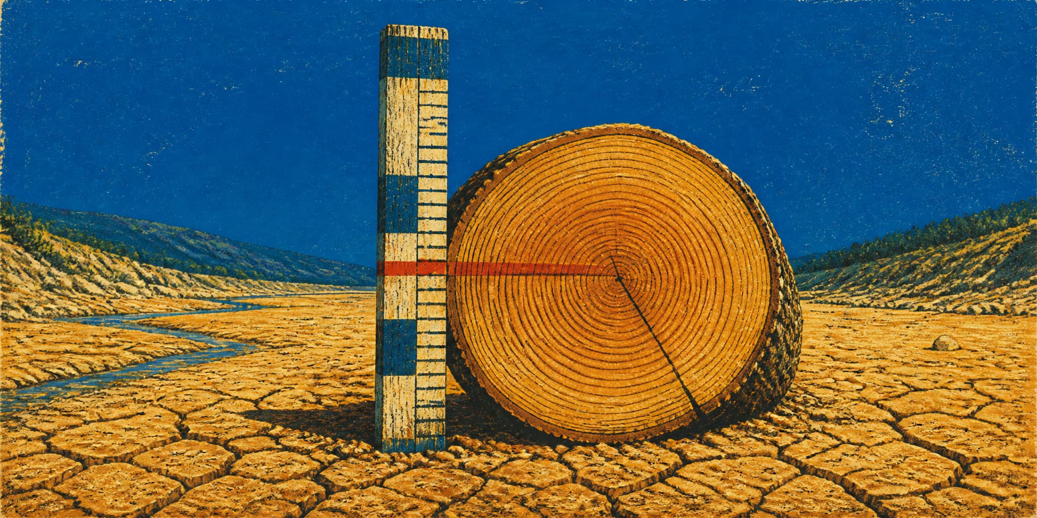
In 1976, Charles Stockton and Gordon Jacoby of the University of Arizona's Laboratory of Tree-Ring Research published a reconstruction of Colorado River streamflow reaching back to 1564. A tree lays down one ring a year, wide in a wet year and narrow in a dry one, and in a moisture-limited forest that width tracks the same precipitation that fills the river. Stockton and Jacoby used thirty chronologies to estimate annual flows at Lees Ferry across four centuries.
Their central reconstruction put the long-term mean near 13.5 million acre-feet, and identified 1905 through 1930 as the wettest interval of comparable length in the whole record. Later work by Woodhouse, Meko, and others extended and refined the picture back to A.D. 762, documenting medieval droughts that ran for decades. The published long-term means vary with method and period, from about 13.1 to 14.7 million acre-feet across the major studies, but they agree on the finding that matters: the early twentieth-century instrumental record caught the river in a generous mood. A later USGS analysis reconstructed natural flow at Lees Ferry at 16.1 million acre-feet a year for 1905 through 1922, and 12.4 million for 1895 through 2003.
The number the commissioners divided was real. The stations existed, the measurements were taken with the best methods anyone had, the averages were computed by competent federal hydrologists. The number was also contingent on the particular twenty years the gauges happened to cover, and twenty years of record cannot see a drought cycle longer than twenty years. There was no way to check the instrumental record against a longer one, because the longer one had not been built and the technique for building it did not exist.
The compact did not allocate 16.4 million acre-feet. It allocated 15 million, plus the extra 1 million to the Lower Basin, and left the rest unassigned. The commissioners built themselves margin. Whether the margin was large enough is the subject of the companion to this piece.
- The Salton Sea's shrinking: The Colorado River Compact enabled the water transfers that built Southern California, and a 2003 settlement now moves conserved Imperial Valley water to urban agencies while the Salton Sea stands roughly 14.6 feet below its 2003 baseline elevation, contracting by an estimated 2,400 acres per year.
- LaRue's longer argument: Eugene Clyde LaRue's 1916 caution about supply and demand was part of a detailed USGS investigation of the Colorado River and its utilization that also examined storage sites, power potential, and irrigation feasibility across the basin.
- Medieval drought in the record: David Meko and colleagues extended the tree-ring reconstruction to A.D. 762 and found an exceptionally severe mid-twelfth-century drought that fell below 84 percent of the twentieth-century observed mean, lasting longer than anything in the instrumental record.
- Carpenter's interstate strategy: Delph Carpenter's compact framework grew from years of work on interstate water disputes, including the La Plata River negotiations, and his career is documented in Colorado State University's archival holdings on Poudre River history.