Dividing a Number at Bishop's Lodge
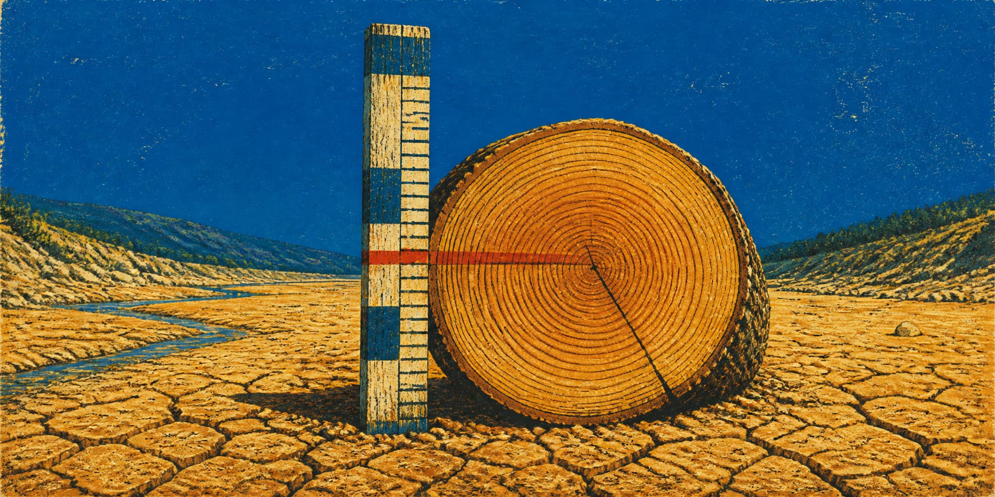
In November 1922, commissioners from seven Western states spent eighteen days at a remote lodge outside Santa Fe dividing the Colorado River. They worked from roughly twenty years of streamflow records compiled by federal hydrologists, which was the best data anyone had. Half a century later, tree-ring scientists at the University of Arizona reconstructed the river's flows back to 1564 and found that those twenty years had caught the wettest stretch of comparable length in the entire record. The number the commissioners divided was real. It just wasn't the river's usual number, and nothing available to them in 1922 could have told them so.
Dividing a Number at Bishop's Lodge
In November 1922, commissioners from seven Western states spent eighteen days at a remote lodge outside Santa Fe dividing the Colorado River. They worked from roughly twenty years of streamflow records compiled by federal hydrologists, which was the best data anyone had. Half a century later, tree-ring scientists at the University of Arizona reconstructed the river's flows back to 1564 and found that those twenty years had caught the wettest stretch of comparable length in the entire record. The number the commissioners divided was real. It just wasn't the river's usual number, and nothing available to them in 1922 could have told them so.
The Corrected Measurement

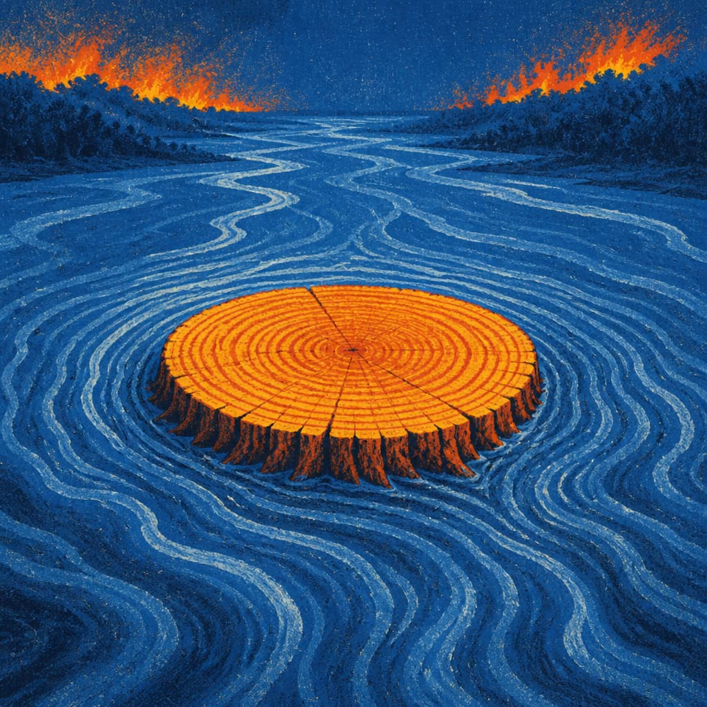
The trees that eventually exposed the Colorado River's overallocation don't grow anywhere near its banks. Ponderosa and pinyon pine on dry, rocky slopes record wet and dry years in their ring widths with a fidelity that twenty years of gauge readings at Lees Ferry never could.
In 1976, Charles Stockton and Gordon Jacoby collected cores from across the basin and reconstructed annual flows at Lees Ferry back to 1564. Their long-term average came in around 13.5 million acre-feet per year. The 1922 compact negotiators had worked from roughly 16.4 million, drawn from gauge data that happened to capture the wettest period in four centuries.
Subsequent reconstructions by different teams using different tree-ring networks and statistical methods landed between 13.1 and 14.7 million acre-feet, all well below the compact's baseline. By 2007, preserved dead wood pushed the record to A.D. 762, revealing a 12th-century drought where flows dropped 15% below average for a quarter century. The seven states had been splitting water the river couldn't reliably deliver, and the communities downstream from those decisions are still living with the math.

A River Wearing a Suit Three Sizes Too Big — One Hydrologist's Reckoning With the Colorado's Foundational Lie
CONTINUE READINGConsequence and Reckoning
The Century Built on the Wrong Number
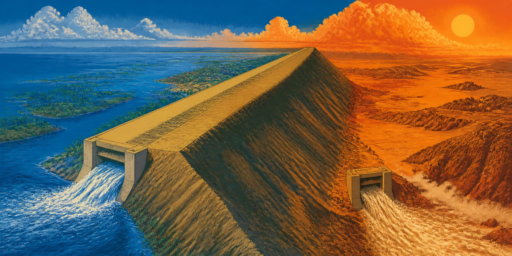
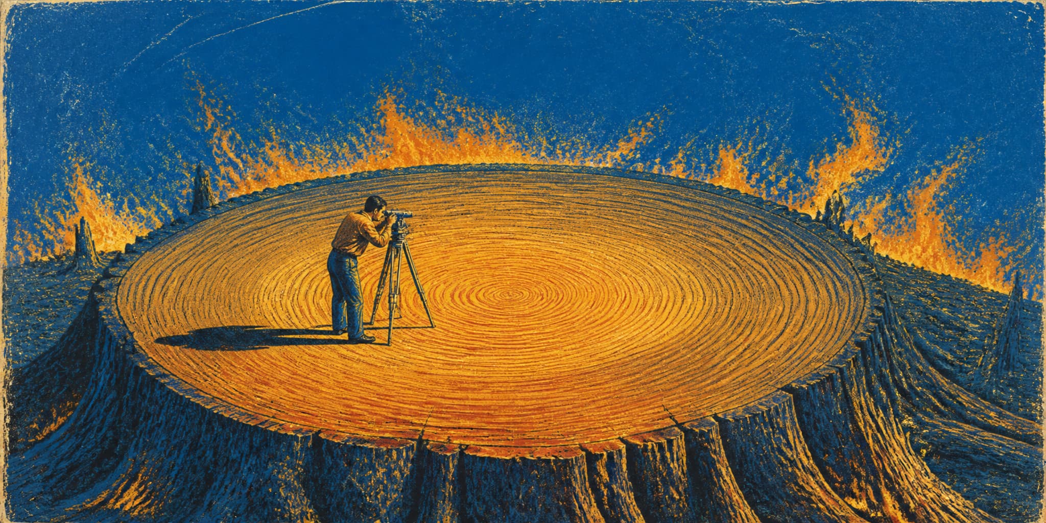
The 1922 Colorado River Compact divided roughly 16.4 million acre-feet of water a year. The river's long-term average is closer to 14.5 million — a fact nobody could have known at the time. Then came Hoover Dam, Glen Canyon Dam, the Central Arizona Project, and cities that grew by millions. Each one made the original number more expensive to revise.
Dividing a Smaller River
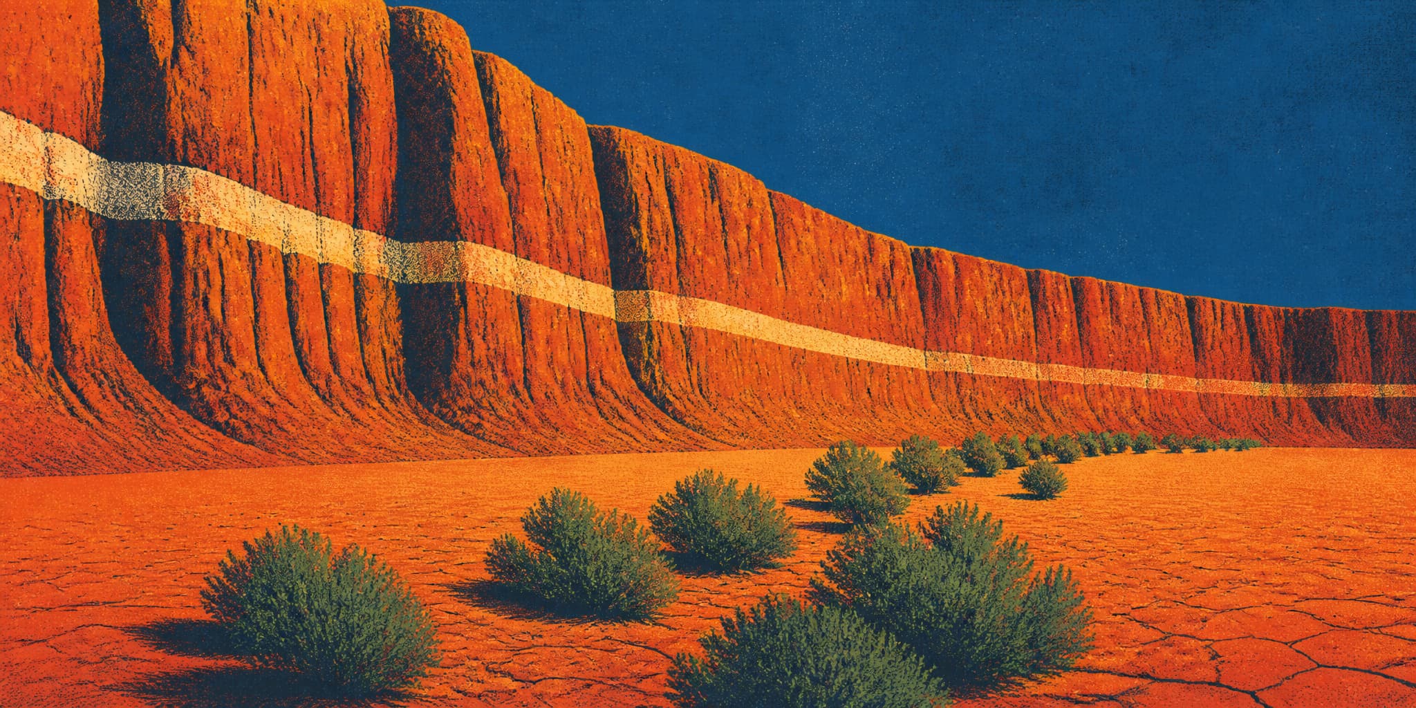
Lake Mead hit a provisional record low this week: 6.9 million acre-feet in a reservoir built to hold 30 million. The century of infrastructure described in our companion piece is now operating on a river that has averaged 12.4 million acre-feet a year since 2000, against the 16.4 million the compact divided. The largest mandatory cuts in the basin's history took effect in August. Three days later, Nevada sued.
River, Record, Reckoning