

The Colorado River Compact became operative in 1929. By then the number was fixed: the river carried roughly 16.4 million acre-feet a year past Lee Ferry, a crossing in northern Arizona where the Upper Basin hands the river to the Lower Basin. The compact gave each basin 7.5 million acre-feet of annual consumptive use. A 1944 treaty would guarantee Mexico 1.5 million. The paper commitments came to roughly 17.5 million acre-feet.
An acre-foot is about 326,000 gallons — enough for two or three households for a year. If you'd rather feel it than read it: a football field flooded nine inches deep. Multiply that by 16.4 million and you have the river the compact divided. Multiply it by 12.4 million and you have the river that has actually shown up since 2000.
The USGS flow records covering 1905 to 1922 were the best data in existence. Continuous gauging at Lee Ferry didn't begin until after the compact was signed, so federal hydrologists reconstructed the earlier years from upstream gauges and reservoir records. The work was competent. The period of record happened to fall inside the wettest sustained interval the Colorado had produced in about five centuries.
Tree-ring reconstructions completed decades later put the long-term average at 14.3 to 14.7 million acre-feet. Since 2000, naturalized flow has averaged about 12.4 million.
So the compact divided a river that existed, at the volume assumed, for roughly two decades out of four hundred years. That number got poured into concrete, plumbed into cities, planted across desert farmland, and made harder to revise with every decade of construction.
Hoover Dam Ratifies the Number
The Boulder Canyon Project Act became law on December 21, 1928, authorizing a dam in Black Canyon, the All-American Canal to the Imperial Valley, and $165 million in federal spending. It also split the Lower Basin's share: California 4.4 million acre-feet, Arizona 2.8 million, Nevada 300,000. Those three figures became the basis for water-delivery contracts that would underwrite development across the desert Southwest for the next hundred years.
Lake Mead began filling on February 1, 1935. At full pool it holds roughly 30 million acre-feet — nearly twice the river's assumed annual flow, held behind 726 feet of concrete. The dam's repayment schedule, its hydropower contracts, and the farm economies it made possible all rested on the river continuing to deliver what the compact said it would.
The First Acknowledgment Nobody Acted On
In 1942, a State Department memorandum prepared during negotiations with Mexico noted that the compact had assumed total basin production of about 19 million acre-feet, and that subsequent stream gauges showed the estimate was too high. Basin production during the 1930s had averaged about 14.5 million — roughly 1.5 million below the compact's domestic allocation alone, before anything was promised to Mexico.
The same memorandum then offered an 18-million-acre-foot estimate of "virgin flow," argued that reservoir storage could ride out dry cycles, and went on negotiating a treaty that added 1.5 million acre-feet of obligation to a system its own numbers showed was already overcommitted. The treaty was signed in 1944.
I spent three years as a field technician writing hydrology reports for clients who filed them as liability documentation. The 1942 memo reads like every one of them: the analysis holds up, and the institutional response is to note the finding and keep building.
Glen Canyon and the Obligation It Was Built to Buffer
The compact handed the Upper Basin a structural problem. Colorado, Wyoming, Utah, and New Mexico owed the Lower Basin a ten-year rolling total of 75 million acre-feet delivered at Lee Ferry — an average of 7.5 million a year, measured on a decade-long clock. Without storage upstream, a run of dry years would force the Upper Basin states to cut their own use hard just to keep the downstream obligation whole.
Congress authorized the Colorado River Storage Project on April 11, 1956. Glen Canyon Dam, its centerpiece, brought the town of Page, Arizona into existence. Lake Powell began storing water on March 13, 1963 and finished its initial fill on June 22, 1980, holding roughly 25 million acre-feet.
The dam existed to buffer a legal obligation whose assumed supply was already being marked down. A 1978 Upper Colorado River Commission report compared the compact-era Lee Ferry mean of 16.8 million acre-feet against roughly 14.7 to 14.8 million over the longer record. The dam had been running for fifteen years, and the obligation it protected was getting heavier every year that downstream demand grew.
Four Centuries in the Wood
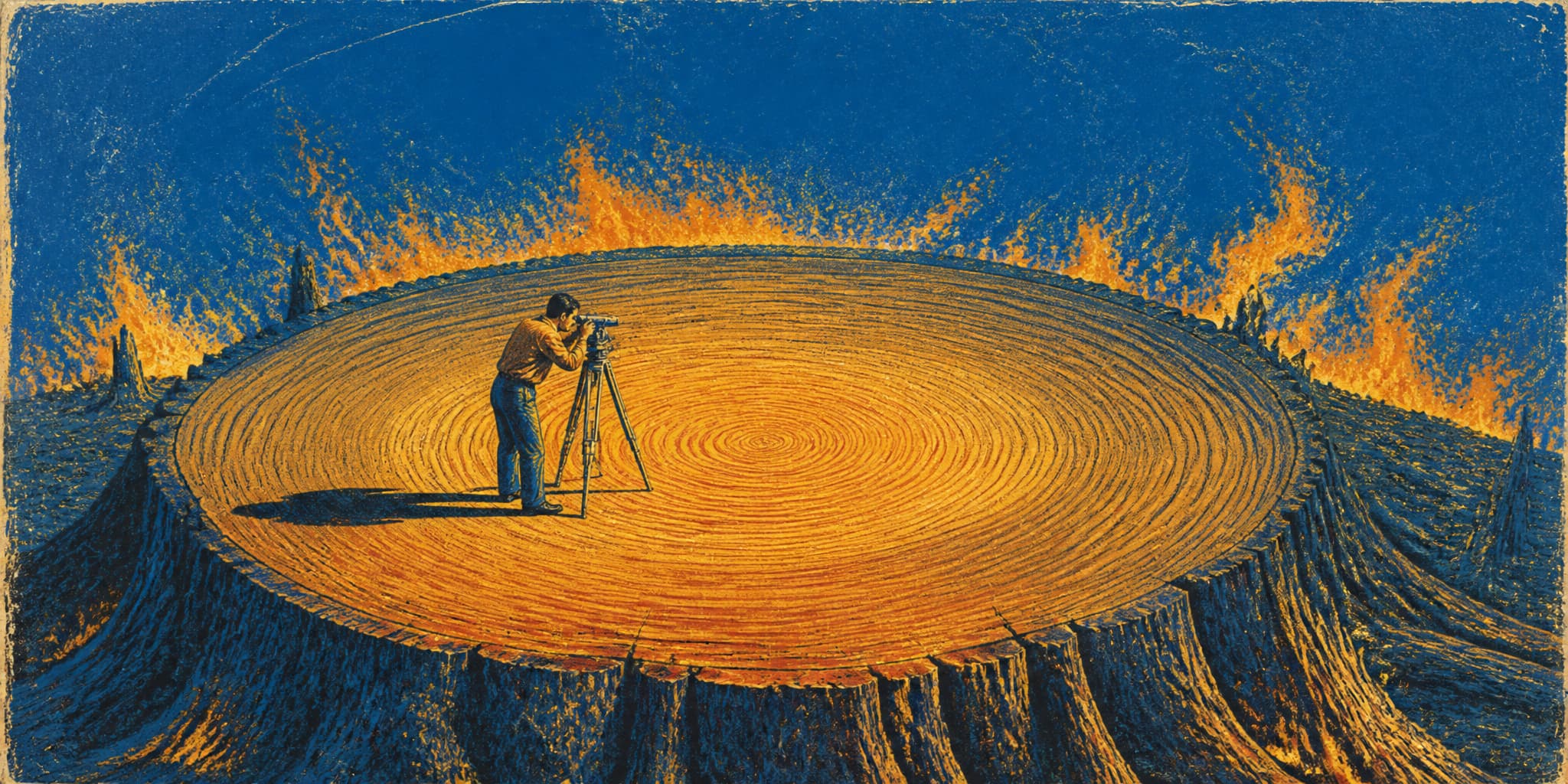
In 1976, Charles Stockton and Gordon Jacoby published a tree-ring reconstruction of Colorado River flows going back roughly four hundred years. Trees in water-limited country lay down wider rings in wet years. Calibrate ring width against the gauge record where the two overlap, and you can run the relationship backward into centuries with no gauges in them.
The long-term mean natural flow at Lee Ferry came out to approximately 13.5 million acre-feet. The early twentieth century was the wettest sustained stretch in the whole reconstruction. The compact had been calibrated to the outlier.
The study became foundational to paleohydrology. It did not reorganize basin policy. Timing was part of it: the late 1970s and 1980s brought unusually wet years to the basin. Powell reached full pool for the first time in 1980. Natural flows in 1983 and 1984 ranked among the highest ever recorded. A paper warning that the river was smaller than everyone assumed was a hard thing to internalize while the spillways were running.
Later work — Woodhouse, Gray, and Meko in 2006, and Meko and colleagues' 762-year reconstruction — revised the estimate upward to 14.3 to 14.7 million acre-feet and turned up a twelfth-century drought that outlasted anything in the modern record. Marc Reisner's Cadillac Desert and Norris Hundley's Water and the West traced how the original anomaly propagated forward through decades of dams, contracts, and political decisions, each of which made revision more expensive than the last.
Arizona's Junior Water
Congress authorized the Central Arizona Project on September 30, 1968: a system to lift Colorado River water out of Lake Havasu, pump it nearly 3,000 vertical feet uphill, and carry it 336 miles into central and southern Arizona.
To get the votes, Arizona accepted that CAP deliveries would rank junior to California's 4.4 million-acre-foot entitlement. In a shortage, California gets satisfied first and CAP takes the cut. Congressional debate included explicit warnings that full Lower Basin demand could not all be served in dry years. Federal planning of the era treated future augmentation — importing water from somewhere else, a project that has never materialized — as part of the eventual answer to the projected deficit.
First deliveries reached Phoenix in 1985. Tucson got CAP water in 1992. The system was declared substantially complete on September 30, 1993, by which point metropolitan Phoenix was approaching three million people. The aqueduct is a calculated bet in concrete: that Arizona's junior allocation would carry a desert metropolis whose growth showed no sign of stopping. The bet was placed with full knowledge that the river was overcommitted and the flow figures were too high.
What Was Standing by 2000
By the mid-1990s the river was built out. Mead and Powell together held 55 million acre-feet of storage capacity behind dams whose power contracts and delivery obligations assumed a river that had never, across any multi-century average, carried what the compact said. Nearly half a million acres of Imperial Valley farmland, the subdivisions spreading north and west out of Phoenix, the residential tracts of Las Vegas — all of it permitted, financed, and built against water rights whose paper total exceeded the physical supply.
The legal framework thickened alongside the concrete. Compacts, a treaty, delivery contracts, Supreme Court decrees, interstate agreements, each defined partly in terms of the others, so that touching one meant reopening several. Every year of growth raised the price of acting on what the gauges and the tree rings showed.
Going into 2000, the reservoirs were near full, the cities were adding people faster than almost anywhere in the country, and the driest sustained period in the basin's modern record was about to begin.