The Paint Marks of March 1913


In the weeks after the 1913 Great Dayton Flood, a crew walked the Miami Valley marking the mud lines the water had left on walls and trees, before weather could erase them. Engineers used those marks to estimate how deep the flood had stood at every property in the valley. Appraisers turned the depths into a funding formula for the new Miami Conservancy District. The dams that formula paid for worked, and the valley rebuilt itself around them. In 2026, property owners still get bills calculated from the depth of water that covered their land in March 1913.
The Paint Marks of March 1913
In the weeks after the 1913 Great Dayton Flood, a crew walked the Miami Valley marking the mud lines the water had left on walls and trees, before weather could erase them. Engineers used those marks to estimate how deep the flood had stood at every property in the valley. Appraisers turned the depths into a funding formula for the new Miami Conservancy District. The dams that formula paid for worked, and the valley rebuilt itself around them. In 2026, property owners still get bills calculated from the depth of water that covered their land in March 1913.
The Bill Itself

The line item on your property-tax statement in Dayton, Ohio, doesn't say anything about 1913. It says "Miami Conservancy District" and a dollar figure. You could pay it for years and never wonder where the number came from.
Here's where it came from. The Miami Conservancy District runs five dams and 55 miles of levee across five Ohio counties along the Great Miami River. Its assessment formula dates to 1917. Take your property's tax value, frozen at 2011 levels. Multiply by a "flood factor" based on how deep the water sat on your specific parcel during the Great Flood of March 1913. Multiply again by a rate the board sets each year.
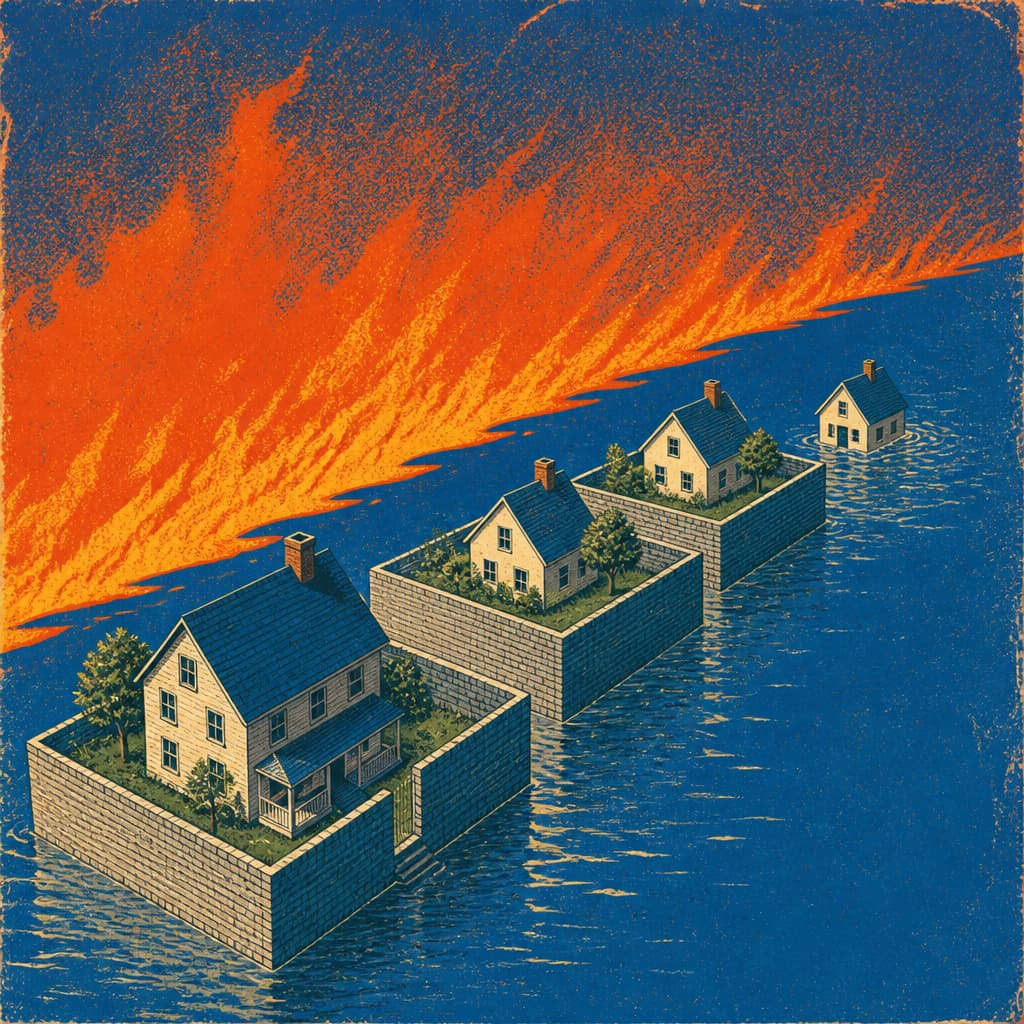
The flood factor runs from 6% for a few inches of 1913 water to 30% for ten feet or more. Two neighbors with identical houses can owe different amounts because the ground under one sat six inches lower in a flood that happened a hundred thirteen years ago. Over 47,000 properties carry this charge. The district says it needs $450 million over twenty years for system maintenance. Current assessments cover about half that.
A pending overhaul would replace the 1913 depths with measurements of how much stormwater runoff each property generates today, expanding the formula beyond the original flood footprint. Whether that makes the bills fairer or just spreads them around is a question Dayton hasn't answered yet.

Displacement and Maintenance

The Town That Became a Basin
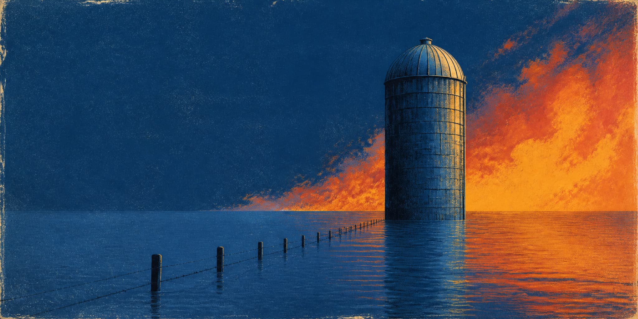
After the 1913 flood killed over 360 people in the Miami Valley, engineers needed land to store the next one. Osborn, Ohio — 1,200 people, four groceries, three flour mills, a whip factory — sat in the valley they chose. The town wasn't in danger. Its land was needed to protect communities downstream. Nearly 200 houses were moved. The basin where they stood still fills when the river rises.
What the Basin Still Requires
Eleven times so far in 2026, the dams built after Osborn's displacement have gone into storage, holding billions of gallons while downstream cities stay dry. Between events, crews grout groundhog holes in sixty-five-foot earthen embankments, haul drift from conduit inlets, and repair erosion — maintaining a system whose permanent costs are paid by the people and land inside its basins. The farmers who work that land have left almost no record.
Further Reading