Soil Cannot Read a Bucket
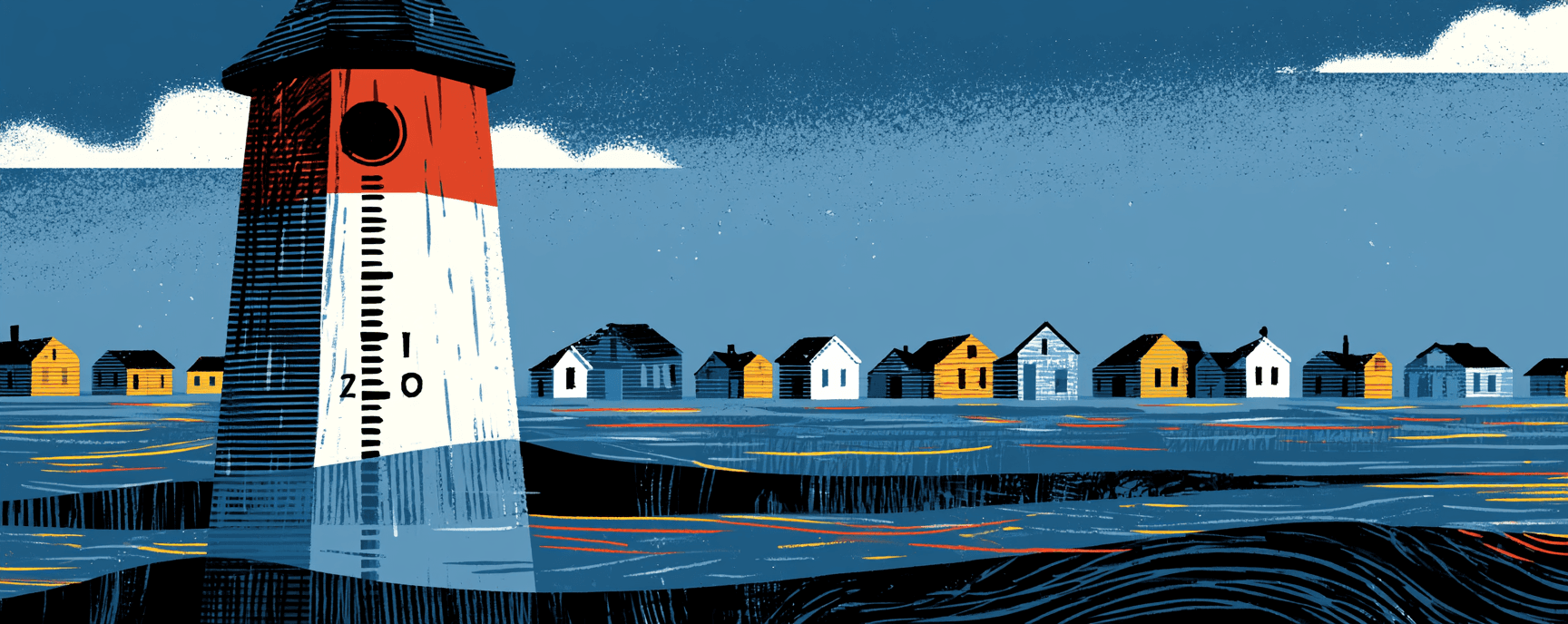
A rain gauge measures depth. Soil accepts a rate. A Nature paper out in May finds the two numbers have come apart: when a year's rain arrives in fewer, heavier deliveries, the land keeps less of it, even after you account for how much fell. Concentration pulls at roughly eighty percent the strength of the annual total, and it pulls the other way.
Western Kansas finished 2019 nearly ten percent wetter than normal. Crews went out that January with a steel tape and a stick of chalk, and the water table had dropped anyway.
Soil Cannot Read a Bucket
A rain gauge measures depth. Soil accepts a rate. A Nature paper out in May finds the two numbers have come apart: when a year's rain arrives in fewer, heavier deliveries, the land keeps less of it, even after you account for how much fell. Concentration pulls at roughly eighty percent the strength of the annual total, and it pulls the other way.
Western Kansas finished 2019 nearly ten percent wetter than normal. Crews went out that January with a steel tape and a stick of chalk, and the water table had dropped anyway.
Research Pairing
Sustainable global irrigation expansion could support only two-thirds of croplands under 1.5 °C and 3 °C warming
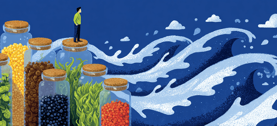
Together the studies form a closed loop: irrigation works against drought, but the water required to scale it up is already spoken for.
Carnegie Institution researchers, publishing in Nature Food, produced the first global accounting of where irrigation adaptation runs into its own water limits.
Research Pairing
Addressing global hotspots of drought-related crop production losses
U.S. monsoon cereal losses could fall 88 percent with sustainable irrigation, but only in regions not already overdrawing their aquifers.
Peer-reviewed in Nature Communications, the study from Politecnico di Torino and University of Delaware spans 17 crops covering 75 percent of global production.
Ground Truth
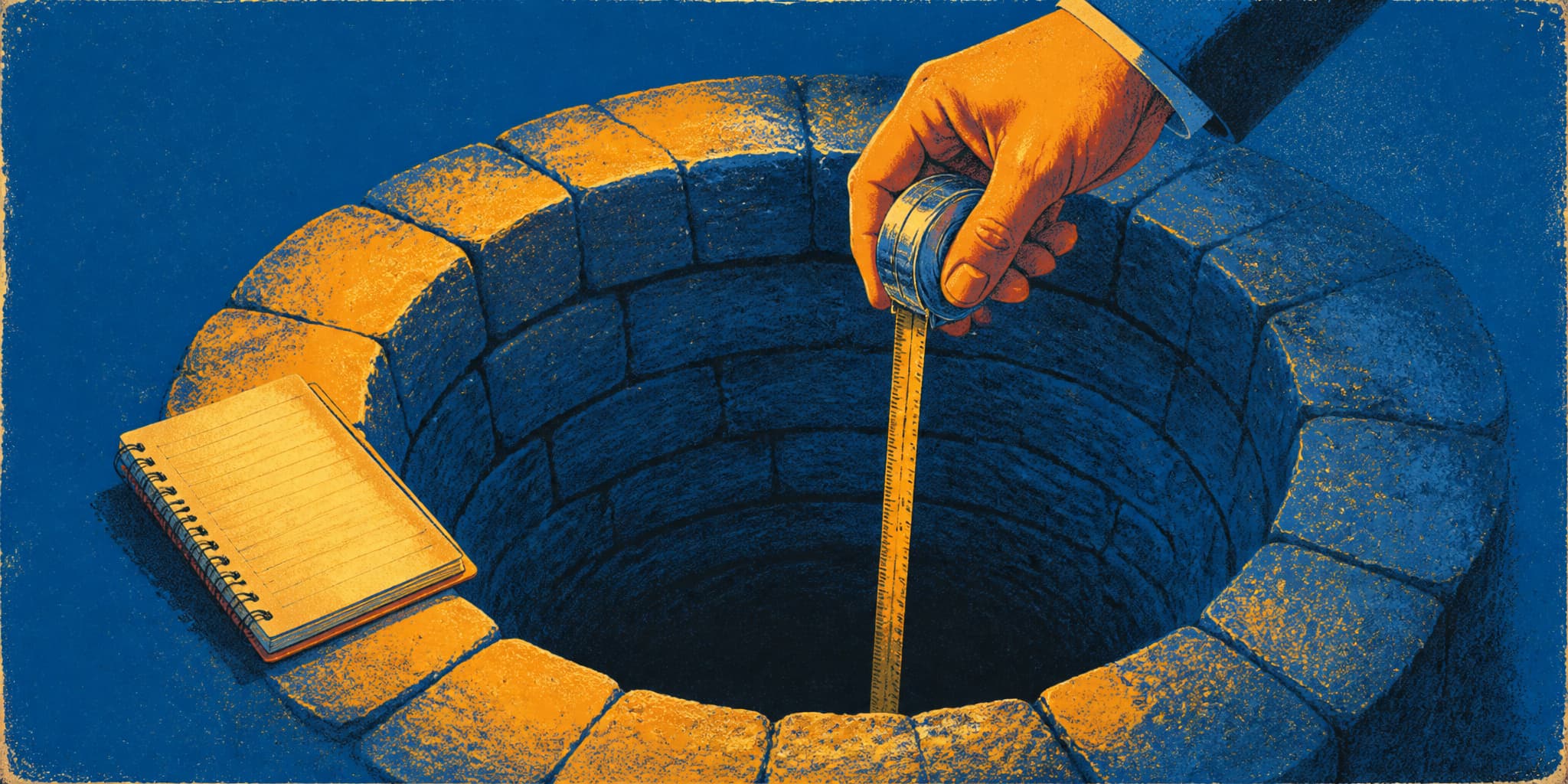
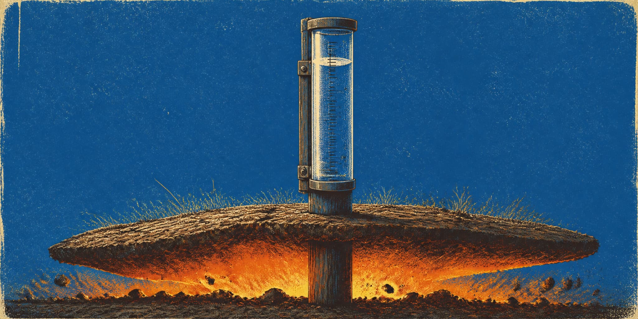
A new USGS study in the Journal of Hydrology compared two ways of tracking groundwater drought: 1,510 monitoring wells in the ground, and a satellite product that weighs water from orbit. At individual locations, the two barely agree. Very low correlation, the authors write.
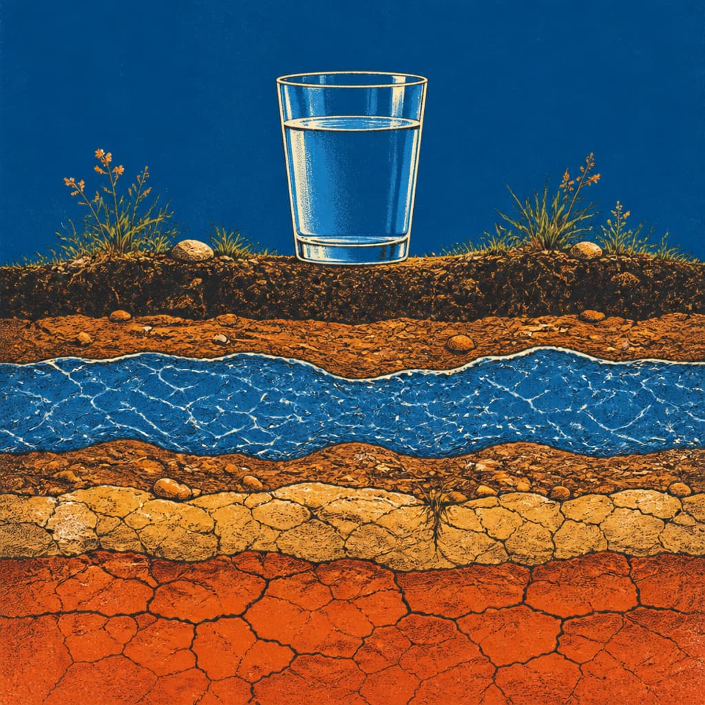
They're looking at different water. The satellite reads a patch about seven miles across and mostly senses moisture near the surface. A well is a six-inch pipe drawing from one layer at one depth, sometimes a deep one sealed off from the rain above by clay and rock.
Which is how a county map can say moderate drought over a kitchen where the water has been falling for six years. It runs the other direction too.
For the 43 million Americans on private wells, nobody regulates that water and no agency logs the level for you. The county map is context; the number that matters is the one someone writes down at the wellhead, a depth and a date, twice a year.